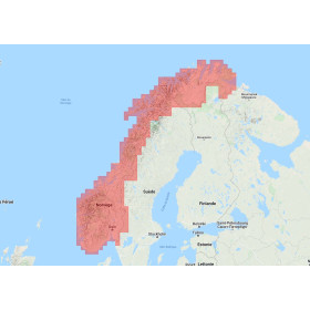
Navionics+ Regular on SD card - micro SD
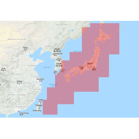
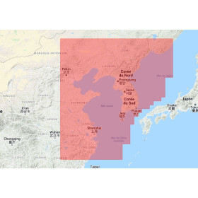
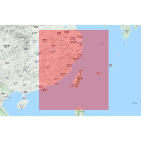
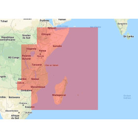
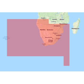
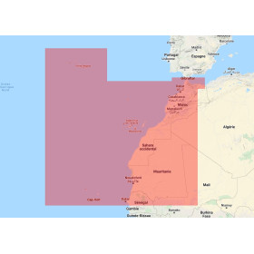
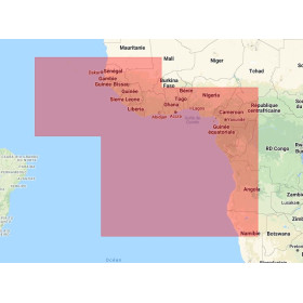
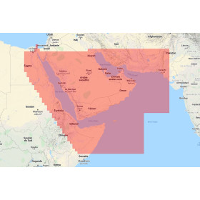
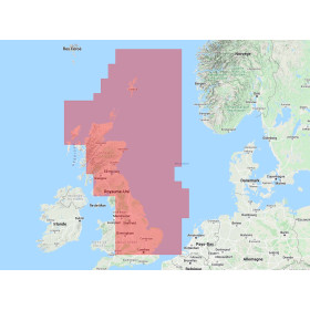
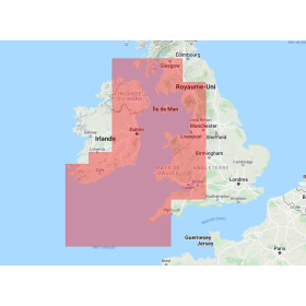
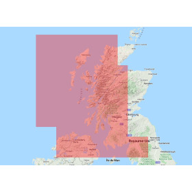
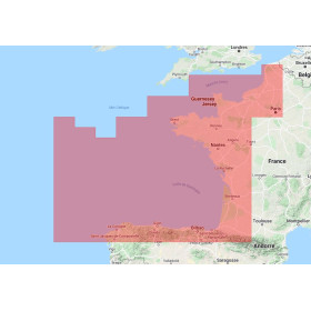
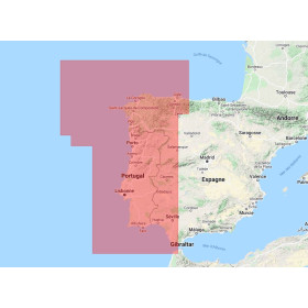
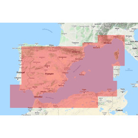
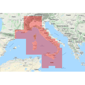
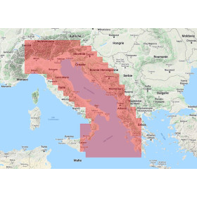
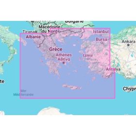
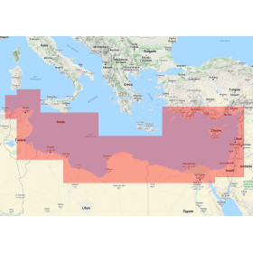
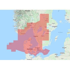
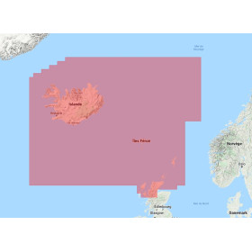
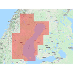
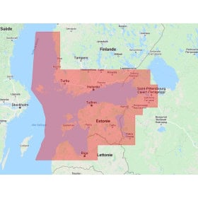
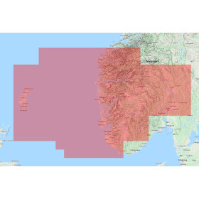
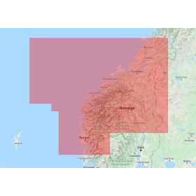
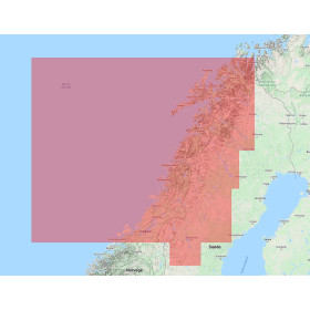
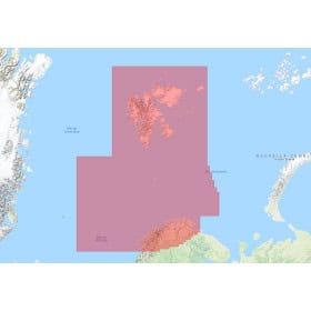
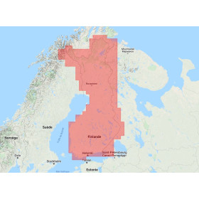
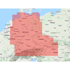
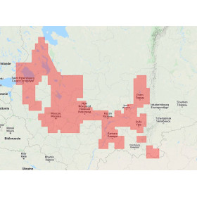
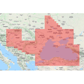
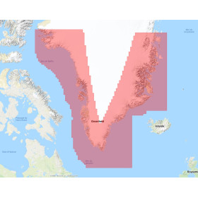
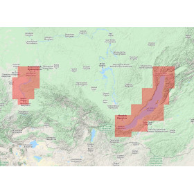
The Navionics+ Regular digital marine chart on SD or microSD card is designed for compatible marine GPS systems and chartplotters requiring detailed charting for coastal navigation, cruising, fishing and recreational boating. Depending on the reference, a Navionics+ Regular chart can display coastlines, depths, soundings, bathymetric contours, ports, marinas, channels, hazards, wrecks, navigation aids, tides and currents. It includes SonarChart HD data and, depending on the compatible equipment, features such as Dock-to-Dock Autorouting, SonarChart Live and Community Edits. Geographical coverage varies according to each Navionics+ Regular reference, so it is essential to check the desired area before choosing a digital marine chart. Compatibility should also be checked with the exact GPS or chartplotter model, as well as the SD or microSD format accepted. Navionics+ Regular charting is intended for compatible marine navigation equipment and not for smartphones or tablets.

 Click here to open our interactive map and select your charts



- -5%
- -5%
- -5%
- -5%
- -5%
- Out-of-Stock
- -5%
- Out-of-Stock
- -5%
- Out-of-Stock