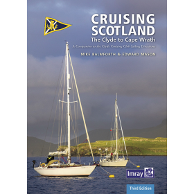
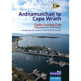
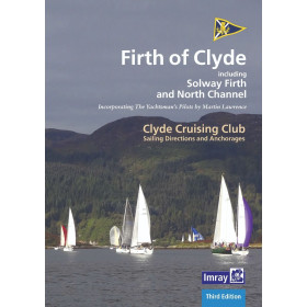
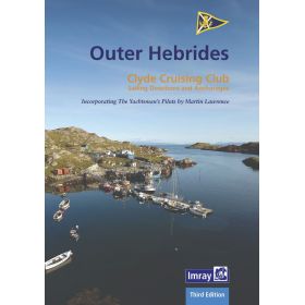
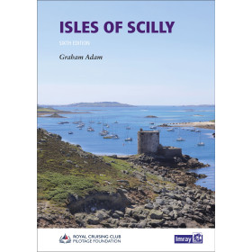
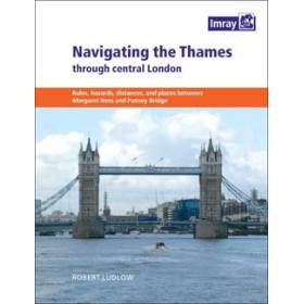
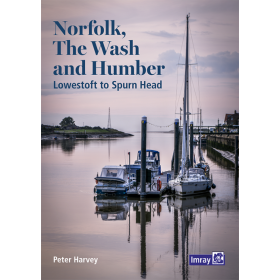
I am sailing in the United Kingdom
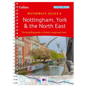
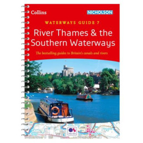
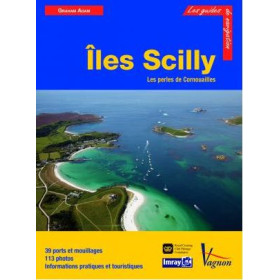
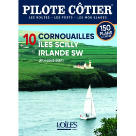
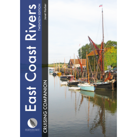
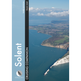
The category “I navigate in the United Kingdom” brings together nautical charts, cruising guides and essential documents for planning navigation around England, Scotland, Wales and Northern Ireland. It covers the English Channel, North Sea, Irish Sea, Bristol Channel and North Atlantic coastlines. Find nautical charts covering London, Southampton, Portsmouth, Plymouth, Falmouth, Bristol, Liverpool, Belfast, Glasgow, Edinburgh and Inverness, as well as approaches to the Isles of Scilly, the Isle of Wight, the Hebrides and the Orkney Islands. Whether you are planning a cruise, coastal navigation or a passage towards France or Ireland, Nautic Way offers charts and guides from publishers and brands including Admiralty, Imray, Navionics, C-MAP and UKHO. These documents provide detailed information on ports, marinas, anchorages, channels, tides, depths, hazards, buoyage and regulated areas, essential for accurate navigation in the United Kingdom.

 Click here to open our interactive map and select your charts