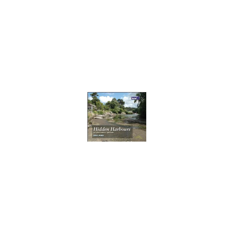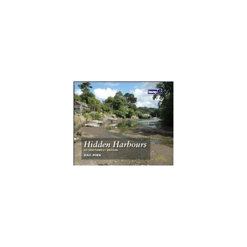




Discover 30+ hidden harbors along Southwest Britain’s coast, from Lyme Bay to the Severn River. Detailed maps, vivid photos, and expert insights for sailors and explorers.
Data sheet
Specific References
Explore over 30 historic harbors along the rugged coastlines of Southwest Britain, from Lyme Bay to the River Severn. This guide uncovers hidden maritime treasures, blending rich history with practical insights for today’s boaters. Whether you're a sailor, history enthusiast, or adventurer, this book reveals the charm and secrets of lesser-known ports that have shaped Britain’s maritime legacy.
Written by Dag Pike, a seasoned mariner with over 60 years of sailing experience and a Yachtmaster Ocean certification, this guide offers unparalleled expertise. Pike’s vivid storytelling brings each harbor to life, from its industrial past to its modern-day allure. With detailed maps, precise coordinates, and firsthand accounts, it’s an indispensable resource for those seeking authentic coastal experiences.
Ideal for boaters looking to escape crowded marinas, this guide highlights safe anchorages, local landmarks, and points of interest. It’s also a valuable companion for hikers and history buffs drawn to coastal archaeology and industrial heritage. The book’s clear layout, evocative photography, and practical tips ensure a seamless blend of exploration and discovery.
Praised by the *Nautical Magazine* for its relevant photography and meticulous design, this guide stands out as a must-have for anyone navigating Southwest Britain’s waters. Its waterproof, durable format ensures reliability in all conditions, while the detailed harbor plans—scaled from 1:20,000 to 1:10,000—provide precision for safe and confident sailing.
More than just a navigation aid, this book is an invitation to step back in time and experience the soul of Britain’s coastal communities. Whether you’re planning a weekend cruise or a longer voyage, it equips you with the knowledge to explore hidden harbors that most travelers never see. Perfect for those who crave authenticity and adventure on the water.
Unlock the Secrets of Southwest Britain’s Coastal Treasures
Hidden Harbors of Southwest Britain is your ultimate companion for discovering over 30 historic and lesser-known ports along the stunning coastline from Lyme Bay to the River Severn. This guide isn’t just about navigation—it’s a journey through time, blending maritime history with practical insights for today’s boaters. Whether you’re a seasoned sailor, a history enthusiast, or an adventurer seeking off-the-beaten-path destinations, this book offers a unique perspective on Britain’s coastal heritage.
Expertly Crafted for Boaters and Explorers
Written by Dag Pike, a renowned mariner with over six decades of sailing experience and a Yachtmaster Ocean certification, this guide combines technical precision with engaging storytelling. Each harbor is brought to life with vivid descriptions, historical context, and practical details, making it an invaluable resource for those who want to explore beyond the usual tourist spots. The book’s waterproof and durable format ensures it stands up to the demands of life on the water, while its detailed harbor plans—scaled from 1:20,000 to 1:10,000—provide the accuracy needed for safe and confident navigation.
More Than Just a Guide—An Invitation to Adventure
This isn’t just a book for sailors. It’s a treasure trove for anyone fascinated by coastal archaeology, industrial history, or the simple joy of discovering hidden gems. With evocative photography and a layout praised by experts, it captures the essence of each harbor, from its past to its present. Whether you’re planning a weekend cruise or a longer voyage, this guide equips you with the knowledge to explore harbors that most travelers never get to see. Perfect for those who crave authenticity and adventure on the water.
This guide comes in a practical paperback format, measuring 640 x 470 mm when folded and A4 when unfolded. Weighing just 0.25 kg, it’s lightweight and easy to carry, yet durable enough to withstand the rigors of life on the water. The waterproof design ensures reliability in all weather conditions, while the folio-style pack includes 12 detailed harbor charts. With scales ranging from 1:20,000 to 1:10,000, these plans provide the precision needed for safe navigation. The 5th edition (2023) reflects the latest updates, making it a trusted resource for boaters.
With a legacy spanning decades, this publisher is a trusted name in maritime navigation and exploration. Known for producing high-quality guides, charts, and resources, their publications are designed to meet the needs of sailors, adventurers, and history enthusiasts alike. Combining technical expertise with engaging storytelling, their books are praised for their accuracy, durability, and ability to bring coastal destinations to life.
The harbor plans are detailed at scales ranging from 1:20,000 to 1:10,000, providing precise navigation information for each location.
Yes, the guide is ideal for boaters seeking off-the-beaten-path destinations, as well as coastal hikers and those interested in industrial archaeology.
The guide explores over 30 historic small harbors along the southwest coast of Britain.
Yes, the guide is designed to be waterproof, making it durable for use on boats or in outdoor conditions.
When folded, the guide measures 640 x 470 mm, and it unfolds to A4 size for easy reference.
The guide is authored by Dag Pike, a seasoned navigator with over 60 years of sailing experience and a Yachtmaster Ocean certificate.
Yes, it features evocative color photographs that bring the history and atmosphere of each harbor to life.
You might also like