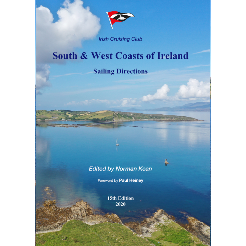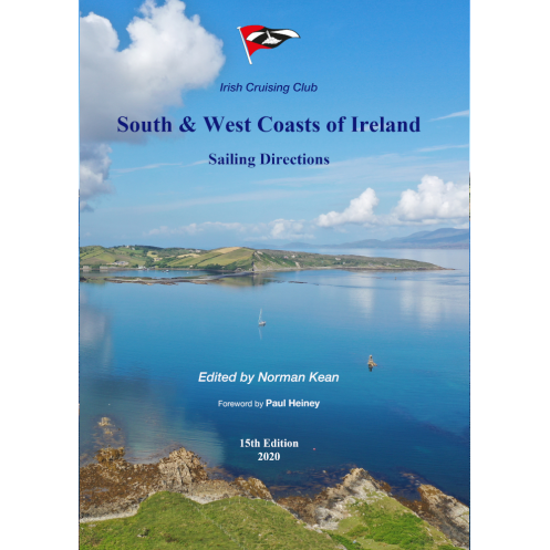



Essential for sailors exploring Ireland’s rugged coastlines, this guide features 164 color plans, 700+ photos, and expert insights on ports, navigation aids, and hidden hazards for seamless voyages.
Data sheet
Specific References
Explore the rugged beauty and hidden gems of Ireland’s southern and western shores with confidence. This comprehensive sailing guide is meticulously crafted for cruisers seeking safe, efficient, and enjoyable voyages along one of Europe’s most breathtaking coastlines. Covering the expansive stretch from Rosslare to Mizen Head and northward to Bloody Foreland, this guide is your trusted resource for navigating the intricate waters of Cork, Baltimore, Bantry Bay, Dingle, the Aran Islands, Connemara, Clew Bay, Sligo, and Donegal.
With over 700 visual references, including 164 full-color plans, 143 aerial photographs, and 587 sea-level images, this guide offers an unparalleled level of detail. Every port, harbor, and anchorage—336 in total—is described with precision, ensuring you have the most up-to-date information at your fingertips. Whether you’re seeking a sheltered cove or a bustling marina, this guide provides clear, concise directions to help you navigate with ease.
This 15th edition (2020) incorporates the latest findings from the INFOMAR hydrographic project, revealing previously uncharted hazards and ensuring your safety on the water. Updated information on navigation aids, shore facilities, and amenities keeps you informed of the latest developments, including new pontoon installations in 12 locations and major improvements in five harbors. No other guide offers this level of accuracy and relevance for today’s sailors.
Edited by Norman Kean and published by the Irish Cruising Club, this guide is tailored specifically for recreational sailors. It combines practical advice with local insights, making it an indispensable tool for both seasoned navigators and those new to Irish waters. The paperback format ensures durability and convenience, whether you’re planning your route at home or referencing it on deck.
New to this edition is a dedicated chapter on crossings between Ireland, England, and Wales. Whether you’re embarking on a short hop or a longer passage, this section provides essential tips and routes to make your journey smooth and stress-free.
Navigate Ireland’s Southern and Western Coasts with Precision and Confidence
This definitive sailing guide is your key to unlocking the safest, most scenic routes along Ireland’s southern and western shores. Spanning from Rosslare to Bloody Foreland, it covers every critical stretch of coastline, including Cork, Dingle, the Aran Islands, Connemara, and Donegal. With 368 pages of expertly curated content, this guide is designed to be your go-to resource for both planning and on-the-water navigation.
Visual Navigation Made Simple
Featuring 164 color plans, 143 aerial photographs, and 587 sea-level images, this guide transforms complex navigation into a straightforward, visual experience. Each of the 336 ports, harbors, and anchorages is illustrated with clarity, allowing you to assess conditions and make informed decisions at a glance. Whether you’re identifying landmarks or avoiding hazards, the visual aids in this guide are an invaluable asset.
Built on the Latest Hydrographic Data
Stay ahead of the curve with the most current hydrographic information available. This edition integrates the latest discoveries from the INFOMAR project, uncovering previously uncharted dangers and ensuring your safety in even the most remote locations. Updated details on navigation aids, shore facilities, and harbor improvements—including new pontoons in 12 locations—keep you informed of the latest developments.
Practical, Durable, and Sailor-Friendly
Designed for real-world use, this paperback guide is built to withstand the rigors of life on the water. Its 297 x 210 mm dimensions strike the perfect balance between portability and readability, while its 1.6 kg weight ensures it won’t weigh down your gear. Whether you’re plotting your course at home or referencing it on deck, this guide is engineered for convenience and reliability.
This 15th edition (2020) of the *South and West Coasts of Ireland Sailing Directions* is a 368-page paperback guide, authored by Norman Kean and published by the Irish Cruising Club. Measuring 297 x 210 mm and weighing 1.6 kg, it includes 164 color plans, 143 aerial photographs, and 587 sea-level images, covering 336 ports, harbors, and anchorages. The guide is fully updated with the latest hydrographic data and features a new chapter on crossings between Ireland, England, and Wales.
With decades of experience in maritime publishing, this guide is backed by a legacy of expertise in cruising and navigation. Authored by industry professionals and trusted by sailors worldwide, it reflects a commitment to accuracy, reliability, and practicality. Whether you’re a seasoned navigator or a weekend cruiser, this guide is designed to meet the highest standards of maritime literature.
This guide covers the south and west coasts of Ireland, from Rosslare to Mizen Head, extending north to Bloody Foreland, including Cork, Baltimore, Bantry Bay, Dingle, the Aran Islands, Connemara, Clew Bay, Sligo, and Donegal.
The 15th edition includes updated descriptions of 336 ports, harbors, and anchorages, with 6 new locations added.
Yes, this edition incorporates the latest findings from the INFOMAR hydrographic project, including previously uncharted hazards.
The guide features 164 color plans, 143 aerial photographs, and 587 sea-level photographs, totaling over 700 visual aids.
Yes, it includes a new chapter dedicated to crossings between Ireland and both England and Wales.
The guide measures 297 x 210 mm and weighs 1.6 kg, making it portable yet comprehensive.
Yes, the latest edition includes revised information on navigation aids, shore facilities, and amenities at various locations.
You might also like