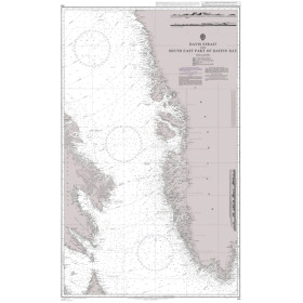
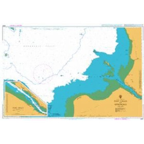
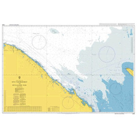
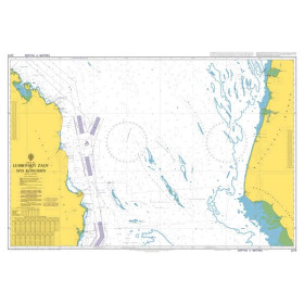
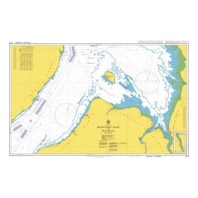
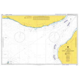
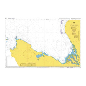
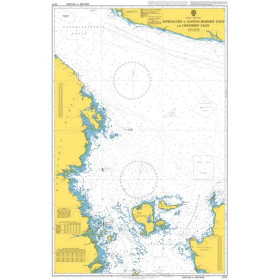
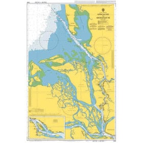
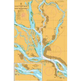
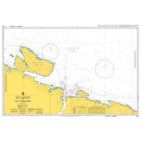
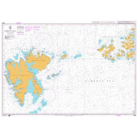
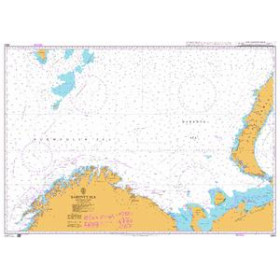
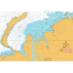
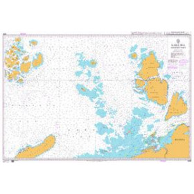
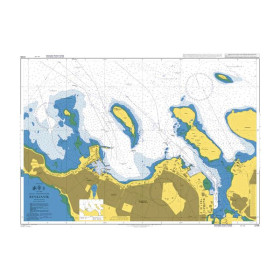
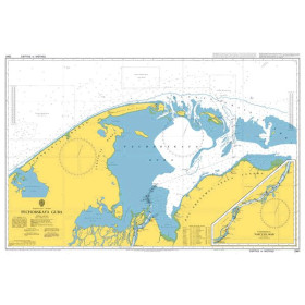
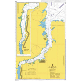
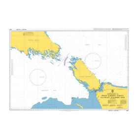
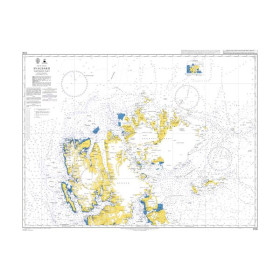
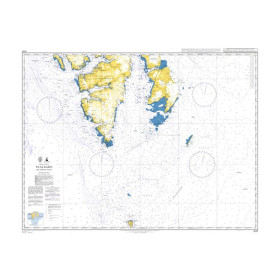
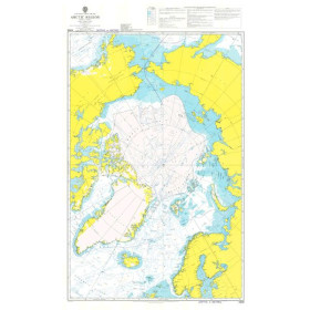
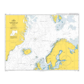
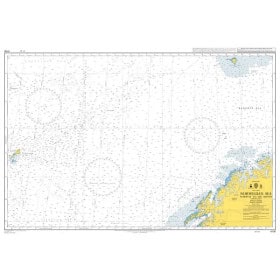
Admiralty nautical chart Arctic ocean
The Admiralty Arctic Ocean nautical chart is designed for planning polar navigation, Arctic shipping routes and exploration projects in northern regions. Published by the United Kingdom Hydrographic Office (UKHO), Admiralty charting provides an overview of the vast maritime areas surrounding the North Pole, including coastlines, archipelagos and the main navigation routes across the Arctic. It is a useful resource for planning navigation between Europe, North America and Asia through Arctic waters, or for studying the different routes of the Northwest Passage and the Northern Sea Route. An Admiralty Arctic Ocean chart also makes it possible to place polar navigation within its wider geographical context and prepare the larger-scale charts required for coastal areas. It complements passage charts, nautical publications and electronic navigation systems. Nautic Way offers Admiralty nautical charts suited to polar navigation and voyage planning in the Arctic.

 Click here to open our interactive map and select your charts