Nautical chart for offshore boating license
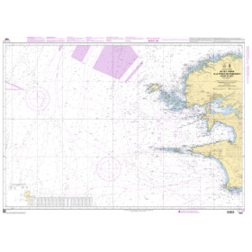
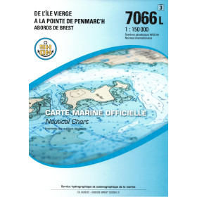
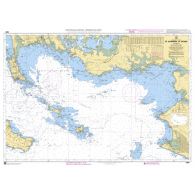
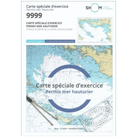
This nautical chart for the French offshore boating licence is designed to help candidates prepare for the theoretical examination, with charts suitable for navigation exercises, position fixing and nautical calculations. It can be used to practise reading depths, bearings, courses, distances, coordinates and chart symbols in maritime areas such as the English Channel, Atlantic Ocean, Bay of Biscay or Mediterranean Sea. It may be particularly useful for training around ports such as Cherbourg, Brest, La Rochelle, Bordeaux, Marseille or Toulon. For training purposes, SHOM charts are a commonly used reference for navigation exercises in France. Candidates may also encounter nautical charts from professional publishers such as Admiralty, Imray or NV Charts. A paper nautical chart suitable for the offshore boating licence is an essential training aid for practising before the examination and developing fundamental chart-navigation skills.

 Click here to open our interactive map and select your charts