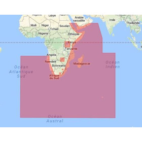
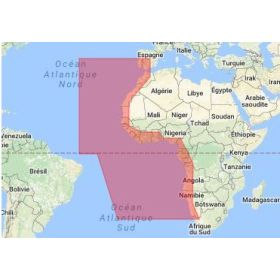
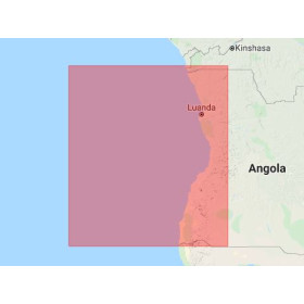
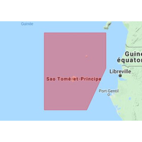
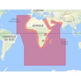
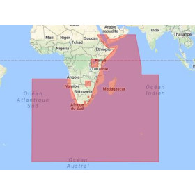
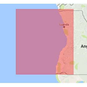
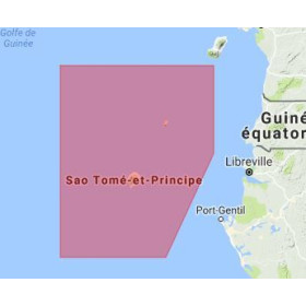
I am looking for a vector nautical chart for my chartplotter
Voici une traduction anglaise naturelle, adaptée à une page e-commerce nautique et au SEO :
Are you looking for a vector marine chart for your GPS chartplotter or navigation software? A vector chart displays nautical information directly on your navigation screen, including depths, hazards, aids to navigation, ports, channels, lights, landmarks and regulatory boundaries. Unlike a raster chart, it adapts to the selected display scale and allows dynamic viewing of chart data on a compatible chartplotter. Nautic Way offers vector marine charts compatible with the main navigation systems and chart formats available on the market, including ENC charts and charting solutions from specialist manufacturers. Before purchasing, it is essential to check compatibility with your chartplotter, navigation software, sailing area and the chart format required. Explore our selection of vector marine charts for recreational boating, professional navigation, cruising and offshore sailing. Need help choosing the right charting solution? Our experts can assist you in selecting the most suitable chart for your equipment and sailing plans.

 Click here to open our interactive map and select your charts