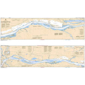
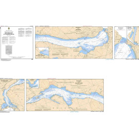
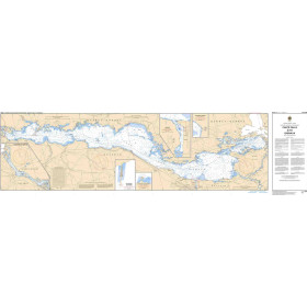
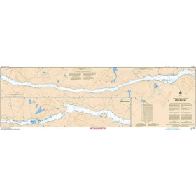
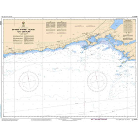
Canadian Hydrographic Service nautical chart
The nautical charts produced by the Canadian Hydrographic Service (CHS) cover more than 240,000 kilometres of coastline—including the Atlantic, Pacific and Arctic oceans, the St. Lawrence River, the Great Lakes and inland waterways—with numerous charts available from Nautic Way, all complying with International Hydrographic Organization (IHO) standards. Each chart provides detailed information on depths in metres, aids to navigation, shoals, drying rocks, wrecks, regulated areas (marked channels and Traffic Separation Schemes), and currents. Essential for leisure sailors, professional commercial shipping, fishing and offshore fleets, as well as explorers of northern regions, these charts provide the official reference for navigation in the Canadian Arctic. The CHS regularly publishes Notices to Mariners and is progressively shifting its production towards Electronic Navigational Charts (ENCs).

 Click here to open our interactive map and select your charts