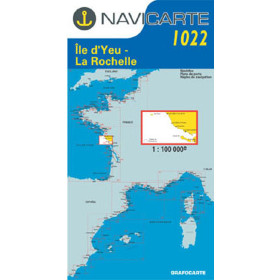
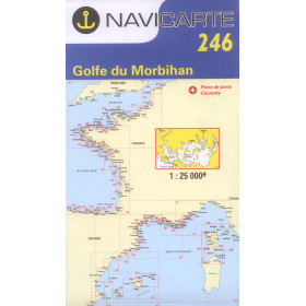
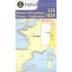
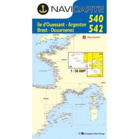
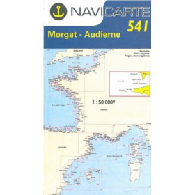
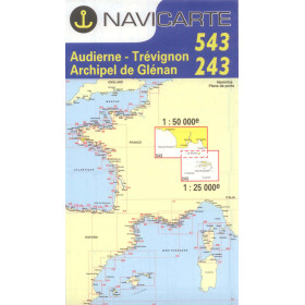
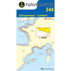
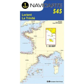
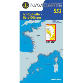
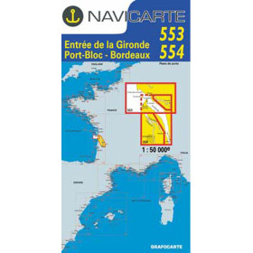
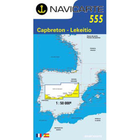
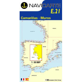
Navicarte nautical chart Atlantic ocean
Navicarte Atlantic nautical charts cover one of the richest and most diverse maritime areas, stretching from the tip of Brittany to the Spanish border and including strategic areas in Spain. Designed for recreational sailors, they combine hydrographic accuracy with intuitive readability, making it easier to navigate approaches to iconic areas such as the Gulf of Morbihan (Chart 246), the Raz de Sein and the Arcachon Basin, as well as coastal cruising along the Charente coast (Chart 1022) and crossings of the Bay of Biscay. Their graphic layout — contrasting colours, simplified symbols, and information on ports, anchorages, fishing areas and regulations — allows immediate interpretation of the critical features of the coastline.

 Click here to open our interactive map and select your charts
Vue carte
Vue liste
27 produits correspondent à vos critères.
Effacer
Vue carte
Vue liste
27 produits correspondent à vos critères.