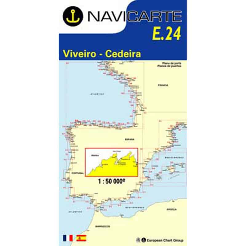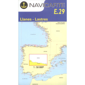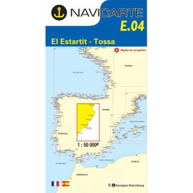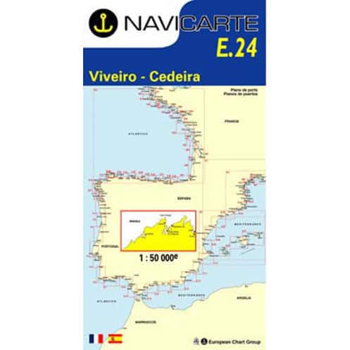






Navicarte nautical chart, coasts of France and Spain.
Data sheet
Specific References
The Navicarte E24 – Vivero – Cedeira nautical chart is a paper coastal navigation chart covering part of the Atlantic coast of Galicia, in north-western Spain. At a scale of 1:50,000, it is designed to help sailors plan and support coastal navigation in the area between Vivero and Cedeira.
This Navicarte chart is primarily intended for recreational sailors navigating along the Galician coast, whether under sail or by motor. It is also a useful planning chart for longer cruises along the north-western coast of Spain, together with other Navicarte charts covering adjacent areas.
The Galician coastline is a particularly interesting area for coastal navigation. Its configuration requires sailors to have a clear representation of the coastline and to maintain a sufficiently broad view of the area being navigated when planning a route.
The Navicarte E24 covers the Vivero – Cedeira area at a scale of 1:50,000. This scale provides a balance between an overall view of the area and a level of detail suitable for coastal navigation planning.
It can be used to plot a route, compare different navigation options and identify the main cartographic features required to understand the maritime area. It is therefore suitable for planning a cruise passage or progressively organising a voyage along the Spanish coastline.
A paper nautical chart remains an important planning tool, even aboard a boat equipped with a GPS or chartplotter.
When spread out on a chart table, the Navicarte E24 provides an immediate overview of the entire area covered. The navigator can plot a route, measure distances, study changes of direction and compare different itinerary options.
This overall view complements the information provided by electronic navigation equipment. The GPS indicates the vessel's position, while the paper chart allows that position to be placed within its wider maritime and geographical context.
The paper chart also provides an independent reference that does not depend on the vessel's electrical power supply or the operation of electronic equipment.
The 1:50,000 scale of the Navicarte E24 is suitable for coastal navigation planning. It provides enough detail to study the coastline while maintaining an overall view of the area.
Reading a nautical chart requires an understanding of the various symbols and cartographic information, including depths, seabed characteristics, buoyage, lights, hazards, coastal landmarks, ports and other information relevant to navigation.
The chart also helps sailors anticipate course changes and better understand the configuration of the coastline before approaching a coastal or port area.
For sailors planning a cruise in Galicia, this preliminary chart work makes it possible to compare different route options and incorporate navigation constraints into the overall voyage plan.
The Navicarte E24 is a paper chart and is not designed to be installed directly in a GPS or chartplotter.
It can, however, be used alongside electronic navigation equipment. The navigator can compare the position provided by the GPS with its representation on the paper chart and check the consistency of the route being followed.
This combination of paper and electronic navigation is particularly useful for route planning, route verification and maintaining an independent navigation reference.
The paper chart also provides an overall view when the chartplotter screen is highly zoomed in on a specific area.
Publisher: Navicarte
Chart number: E24
Area: Vivero – Cedeira
Country: Spain
Maritime area: Atlantic Ocean
Type: nautical navigation chart
Use: recreational boating
Navigation: coastal waters
Format: paper
Chart format: folded
Unfolded size: A0, 118.9 × 84.1 cm
Folded size: 166 × 315 mm
Scale: 1:50,000
Languages indicated: French and Spanish
The Navicarte E24 is particularly suitable for planning coastal navigation in the Vivero – Cedeira area.
It can be used by recreational sailors travelling under sail or by motor, particularly during a cruise along the Galician coastline. It is also suitable for sailors progressively exploring the north-western coast of Spain who want a chart corresponding to each section of their route.
For navigation covering a larger area, the E24 can be used together with other Navicarte charts in the series. Chart selection should be based on the planned route, the navigation area and the scale required for each stage.
The Navicarte E24 can also be used as an educational resource for learning or improving nautical chart-reading skills.
Working with a paper chart provides a practical way to understand concepts such as course, distance, position, bearing and identification of coastal features. It also helps sailors learn how to interpret depths, buoyage and the different symbols used on a navigation chart.
For a beginner, this approach is a useful complement to GPS navigation. It helps develop an overall understanding of navigation rather than relying solely on the position displayed on an electronic screen.
The Navicarte E24 provides chart coverage for the Vivero – Cedeira area. However, it does not replace the other information required for complete navigation planning.
Depending on the route and navigation conditions, sailors may need to consult additional information concerning tides, ports, lights, weather, local regulations and navigational information intended for mariners.
The paper chart should therefore be incorporated into a comprehensive navigation plan combining cartography, nautical information and appropriate positioning equipment for the planned voyage.
What area does the Navicarte E24 cover?
The Navicarte E24 covers the area indicated by its title, between Vivero and Cedeira, on the Atlantic coast of Spain.
What is the scale of the Navicarte E24?
The chart is produced at a scale of 1:50,000, which is suitable for planning and supporting coastal navigation.
Is the Navicarte E24 a paper nautical chart?
Yes. It is a folded paper nautical chart that unfolds to A0 size.
What are the dimensions of the Navicarte E24?
The chart measures 118.9 × 84.1 cm when unfolded. Its folded format is 166 × 315 mm.
Which languages are indicated on the Navicarte E24?
The product information indicates French and Spanish.
Is the Navicarte E24 suitable for recreational boating?
Yes. It is classified as a nautical navigation chart intended for recreational boating and coastal navigation.
Can the Navicarte E24 be used with a GPS or chartplotter?
Yes. The paper chart can be used alongside a GPS or chartplotter to compare the electronic position with the overall representation of the area.
Does the Navicarte E24 cover the entire Galician coast?
No. It covers the Vivero – Cedeira area. For a longer voyage along the Galician coast, several charts covering successive areas may be required.
Is the Navicarte E24 suitable for a sailing cruise?
Yes. Its scale and coverage make it suitable for planning coastal sailing navigation and for cruises along the Spanish coastline.
Is the Navicarte E24 sufficient on its own to plan a voyage?
It provides chart coverage for the relevant area, but complete navigation planning may require additional nautical documents, particularly for tides, ports, lights, weather conditions and applicable regulations.
You might also like