ScanNav routing software
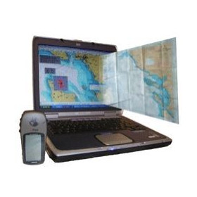
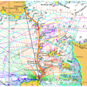
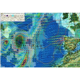
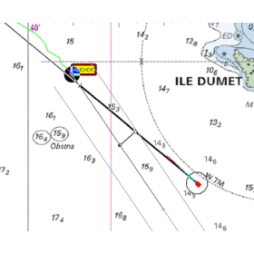
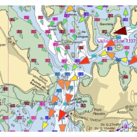
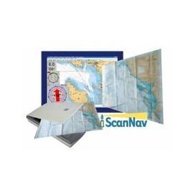
ScanNav navigation software is a comprehensive computer-based marine charting solution for preparing and monitoring coastal sailing, cruising and offshore passages. It supports raster and vector digital nautical charts, route and waypoint planning, GPS vessel positioning and navigation track recording. Depending on the modules and onboard equipment used, ScanNav can also integrate NMEA data, AIS, tides, weather information, currents and routing functions. This versatility makes it suitable for sailors and motorboat users looking for GPS navigation software for a computer-based marine navigation system. ScanNav can also be used with compatible charts for inland-water navigation. The appropriate chart coverage should be selected according to the cruising area, planned route and onboard equipment, while remaining complementary to the nautical charts, official publications and other navigation information required for safe and properly prepared sailing.

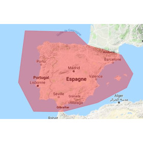
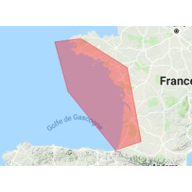
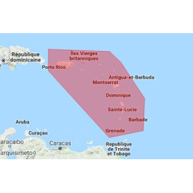
 Click here to open our interactive map and select your charts