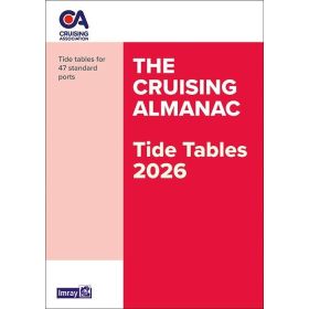
Tide tables and tidal publications paper version
The paper tide tables and tidal currents directory provides essential information for planning coastal navigation, cruises or passages while taking tides and water movements into account. These publications include high and low tide times, water levels, tidal coefficients and tidal currents for the areas covered. They are particularly useful in the English Channel, Iroise Sea, Celtic Sea, North Sea, Bay of Biscay and Atlantic Ocean, with ports such as Brest, Saint-Malo, Cherbourg, Le Havre, Dunkirk, La Rochelle, Bordeaux and Saint-Jean-de-Luz. For comprehensive planning, these directories complement paper nautical charts from Shom, Admiralty, Imray or NV Charts, as well as sailing directions and pilot books. Easy to consult on board, they help sailors anticipate currents in channels, port access conditions and tide times. They are suitable for recreational sailors, fishermen, maritime professionals and navigators planning their routes with reliable nautical documentation.

 Click here to open our interactive map and select your charts