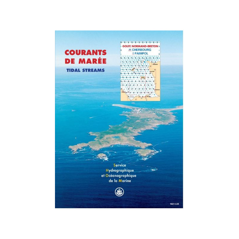


Shom - 562-UJA - courant de marée : Golfe Normand - Breton, de Cherbourg à Paimpol
search
  • googlemap
  • Shom - 562-UJA - courant de marée : Golfe Normand - Breton, de Cherbourg à Paimpol

Shom - 562-UJA - courant de marée : Golfe Normand - Breton, de Cherbourg à Paimpol

€42.40
Tax included
Shom - Service Hydrographique et Océanographique de la Marine
In French language
Estimated preparation time: 0 to 5 days

This tidal currents atlas for the Norman-Breton Gulf (Cherbourg to Paimpol) provides hourly current maps for average spring and neap tides. Ideal for navigation, diving, and coastal projects.

shom-562UJA

Data sheet

Who is the publisher or the author?
Shom
On what digital medium is this nautical chart / book stored?
paper medium
From which year does this nautical chart date?
1998
What type of navigation book is this?
tidal currents
Picto
In French language

Specific References

UPC
400000064444
EAN13
9782110881977
New
Description détaillée

Tidal Current Atlas: Norman-Breton Gulf, from Cherbourg to Paimpol

Publication in French
Printed version

Precision Navigation for Professionals

Navigate the challenging waters of the Norman-Breton Gulf with unparalleled accuracy. This tidal current atlas delivers hourly tidal current charts for both mean spring and neap tides, covering the critical stretch from Cherbourg to Paimpol. Designed for maritime professionals, it provides essential data to optimize routes, enhance safety, and improve operational efficiency in one of the most dynamic tidal zones in the world.

Engineered for Maritime Operations

  • Comprehensive coverage of the Norman-Breton Gulf, a high-traffic area with complex tidal patterns
  • 12 detailed sector charts, each representing a one-hour interval of the tidal cycle
  • Based on advanced hydrodynamic modeling, integrating bathymetry, tidal knowledge, and current data
  • Mercator projection for accurate spatial representation and seamless integration with other nautical charts
  • Unlimited validity, ensuring long-term reliability for planning and operations

Critical Tool for Commercial and Environmental Applications

This atlas is an indispensable resource for professionals in the maritime industry. Whether you're navigating commercial vessels, planning fishing expeditions, or conducting environmental assessments, this tool provides the precise tidal current data needed to make informed decisions. It supports a wide range of applications, including:

  • Safe and efficient navigation for merchant ships, ferries, and fishing fleets
  • Dive planning and underwater operations in tidal zones
  • Environmental studies, such as assessing the impact of marine discharges or coastal developments
  • Port infrastructure planning and management
  • Scientific research and hydrodynamic modeling

Optimized for Professional Use

Developed by experts in hydrography and oceanography, this atlas is tailored to meet the demands of professional mariners. The 1998 edition remains a trusted reference, offering:

  • Clear, easy-to-read charts that simplify complex tidal data
  • A semi-diurnal tidal cycle representation, ideal for the Atlantic and English Channel coasts
  • A durable printed format, weighing just 1 kg, for reliable use in both office and onboard environments
  • Compatibility with digital tools, as the data is also available in PDF format for enhanced accessibility

Why This Atlas Stands Out

Unlike generic tidal charts, this atlas focuses specifically on the Norman-Breton Gulf, providing localized, high-resolution data that general charts cannot match. Its hourly intervals and dual representation of spring and neap tides offer a level of detail that is critical for navigating this region's unique challenges. Whether you're avoiding strong currents, optimizing fuel consumption, or ensuring the safety of your crew, this atlas is the key to mastering the tides.


Master the Tides of the Norman-Breton Gulf with Unmatched Precision
This tidal current atlas is the definitive tool for navigating the complex waters between Cherbourg and Paimpol. Designed for maritime professionals, it provides hourly tidal current charts for both mean spring and neap tides, ensuring you have the most accurate and up-to-date data for safe and efficient navigation. With 12 detailed sector charts covering 8 key zones, this atlas is engineered to meet the demands of commercial shipping, fishing, diving, and environmental studies.

Built on Advanced Hydrodynamic Modeling
Leveraging decades of expertise in hydrography and oceanography, this atlas is based on precise bathymetric data, tidal knowledge, and hydrodynamic modeling. The Mercator projection ensures spatial accuracy, making it easy to integrate with other nautical charts and digital navigation systems. Whether you're planning a route, assessing environmental impacts, or conducting scientific research, this tool delivers the reliability you need.

Durable, Practical, and Ready for Any Mission
Available in a sturdy printed format, this atlas is designed for both office and onboard use. Weighing just 1 kg, it’s easy to handle and store, yet robust enough to withstand the rigors of maritime environments. For added convenience, the data is also available in a digital PDF format, allowing you to access critical tidal information anytime, anywhere. With unlimited validity, this 1998 edition remains a trusted reference for professionals navigating the Atlantic and English Channel coasts.

This tidal current atlas provides comprehensive coverage of the Norman-Breton Gulf, featuring 12 sector charts that detail tidal currents at one-hour intervals. It includes data for both mean spring and neap tides, based on a semi-diurnal tidal cycle, and uses a Mercator projection for accurate spatial representation. The printed version weighs 1 kg and is designed for unlimited use, ensuring long-term reliability for maritime professionals.

With a legacy rooted in hydrography and oceanography, this organization is a global leader in maritime data and navigation solutions. Renowned for its precision and expertise, it provides essential tools for safe and efficient navigation, supporting commercial, scientific, and environmental applications worldwide. Its products are trusted by maritime professionals for their accuracy, reliability, and technical excellence.

  • This tidal current atlas offers unparalleled precision for navigating the Norman-Breton Gulf, with hourly charts for both spring and neap tides.
  • Its advanced hydrodynamic modeling ensures accurate, localized data, while the durable printed format and digital availability provide flexibility for any mission.
  • Ideal for commercial shipping, fishing, diving, and environmental studies, it enhances safety, efficiency, and decision-making in dynamic tidal zones.
What is the coverage area of this tidal current atlas?

The atlas covers the tidal currents in the Norman-Breton Gulf, specifically from Cherbourg to Paimpol along the English Channel and Atlantic coasts of France.

How are tidal currents represented in this atlas?

Tidal currents are shown hourly for both mean spring and neap tides, based on a semi-diurnal tidal cycle across 12 sector maps.

Is this product available in digital format?

The atlas is available in both paper format and as a digital PDF version.

What projection system is used in this atlas?

The atlas uses the Mercator projection for all its maps.

How many sectors are detailed in this tidal current atlas?

The atlas includes 8 distinct sectors covering the specified coastal area.

Does this atlas have an expiration date for its data?

No, the tidal current data in this atlas is valid indefinitely.

What is the weight of the paper version of this atlas?

The paper version weighs approximately 1 kilogram.

Loading...