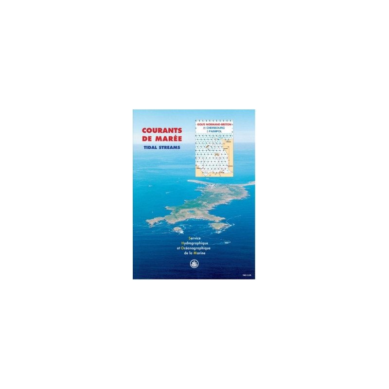





Navigate the Norman-Breton Gulf with precision using this digital tidal currents atlas, covering Cherbourg to Paimpol. Visualize hourly tidal flows for safe and efficient maritime operations.
Data sheet
Specific References
Navigate with confidence through one of Europe's most challenging maritime environments
This digital tidal currents atlas delivers the critical data commercial mariners need to operate safely and efficiently in the Norman-Breton Gulf. Covering the high-traffic corridor from Cherbourg to Paimpol, this professional-grade tool provides hourly tidal current visualizations for both spring and neap tides, enabling precise voyage planning in waters where currents can exceed 3 knots. The 12 Mercator-projected charts offer comprehensive coverage of 8 distinct sectors, each representing the complex hydrodynamic patterns of this semi-diurnal tidal region.
Engineered for maritime professionals
Developed using advanced hydrodynamic modeling and decades of oceanographic data, this atlas transforms raw tidal information into actionable intelligence. The digital PDF format ensures instant access across your fleet while maintaining the precision of traditional nautical publications. With coverage extending from the Cotentin Peninsula to Brittany's northern coast, this tool addresses the unique challenges of navigating France's Atlantic and English Channel waters, where tidal currents significantly impact vessel performance and safety.
Operational advantages for commercial fleets
Beyond basic navigation, this atlas serves as a strategic planning tool for maritime operations. The 1-hour interval data allows for precise route optimization, helping vessels minimize fuel consumption while maintaining schedule integrity. The atlas's professional features include licensing for 5 workstations and one year of complimentary updates, ensuring your fleet always operates with the most current tidal information. Whether planning port approaches, coordinating diving operations, or assessing environmental impacts, this tool provides the reliable data maritime professionals require for safe and efficient operations in dynamic coastal waters.
This digital tidal currents atlas provides comprehensive coverage of the Norman-Breton Gulf with 12 Mercator-projected charts showing hourly tidal currents for both spring and neap tides. The atlas covers 8 distinct sectors from Cherbourg to Paimpol, optimized for the region's semi-diurnal tidal patterns. Delivered in PDF format with a 5-workstation license, it includes one year of complimentary updates and unlimited validity for core data.
For over three centuries, France's official hydrographic and oceanographic service has set the standard for maritime data collection and analysis. Specializing in the precise measurement and modeling of coastal waters, tides, and currents, this institution provides the foundational data that powers safe and efficient maritime operations. Their products combine cutting-edge oceanographic science with practical navigation tools, serving commercial fleets, port authorities, and environmental agencies worldwide.
The atlas uses a Mercator projection, ensuring accurate representation of directions and shapes for navigation purposes.
The atlas includes 8 sectors, each with 12 charts covering the area from Cherbourg to Paimpol.
Yes, the product includes free updates for one year from the date of purchase.
Each chart represents tidal currents at one-hour intervals, covering a full tidal cycle.
The license allows installation on up to 5 workstations. Additional licenses must be purchased for every 5 additional workstations.
Yes, it is designed for navigation, diving, fishing, and environmental studies, including projects like marine discharges and port developments.
It covers semi-diurnal tides, which are typical for the Atlantic and English Channel coasts of France.
You might also like