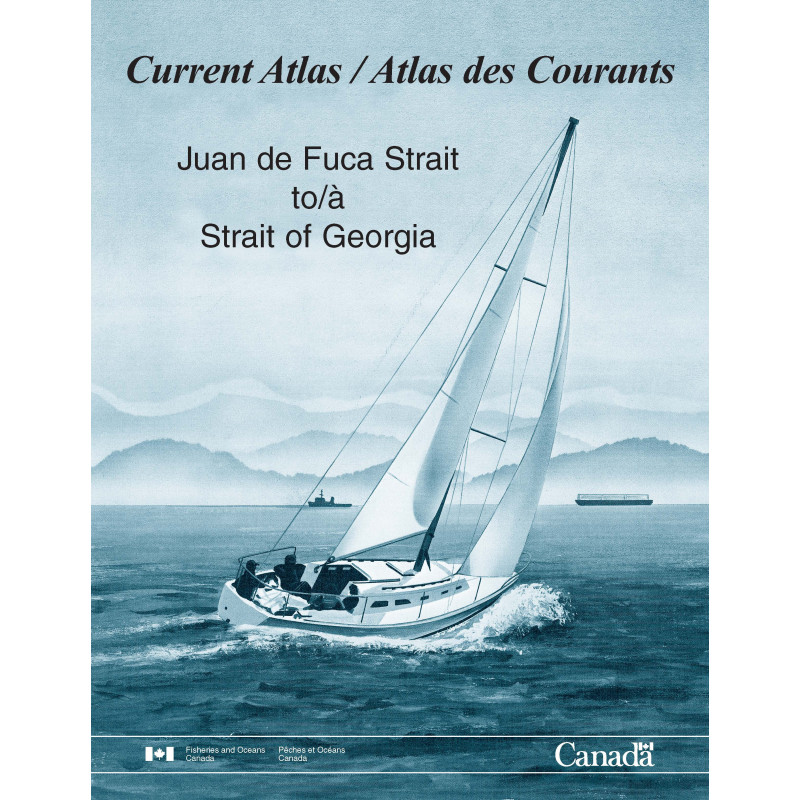


SHC - Atlas des courants de marée - Juan de Fuca Strait à Strait of Georgia
search
  • googlemap
  • SHC - Atlas des courants de marée - Juan de Fuca Strait à Strait of Georgia

SHC - Atlas des courants de marée - Juan de Fuca Strait à Strait of Georgia

€39.70
Tax included
CHS - Canadian Hydrographic Service
In English language In French language
Rupture stock

Navigate the waters from Juan de Fuca Strait to Strait of Georgia with precision using this essential tidal currents atlas. Hourly data on speed and direction ensures safe and efficient voyages.

SHC-ct-JuandeFuca

Data sheet

On what digital medium is this nautical chart / book stored?
paper medium
What type of navigation book is this?
tidal currents
Picto
In English language
In French language

Specific References

UPC
400000062587
EAN13
4000000179719
Description détaillée

Tidal Current Atlas – Juan de Fuca Strait to Strait of Georgia

Publication in English
Printed version

Precision Navigation for Professional Mariners

Navigate the challenging waters between Juan de Fuca Strait and Strait of Georgia with unmatched accuracy. This tidal current atlas delivers hourly visualizations of surface current speed and direction, tailored for commercial shipping, cruise planning, and competitive sailing in one of North America’s most dynamic maritime regions. Designed for professionals who demand reliability, it transforms complex tidal data into clear, actionable charts.

Comprehensive Coverage of High-Risk Zones

  • Maps the entire coastal stretch from Juan de Fuca Strait to Strait of Georgia, including the San Juan Islands, Gulf Islands, and critical passages between Socks and Campbell River
  • Highlights hazardous tidal currents, powerful eddies, and surface flows influenced by the Fraser River’s discharge
  • Uses variable cartographic scales to ensure precision in both open waters and narrow channels

Engineered for Operational Efficiency

  • 212-page printed volume with bilingual (English/French) navigation data
  • Part A: Tidal current charts for typical tidal ranges (14 pages)
  • Part B: 25-hour tidal current charts for extended planning (100 pages)
  • Part C: Dedicated Fraser River surface flow analysis (9 pages)
  • Must be used alongside the annual *Canadian Tide and Current Tables, Volume 5* for synchronized tidal predictions

Built for the Demands of Commercial Shipping

This atlas is not just a reference—it’s a mission-critical tool for maritime professionals. Whether managing cargo routes, optimizing fuel efficiency, or ensuring passenger safety, its hourly current visualizations allow for real-time decision-making in fast-changing conditions. The 2003 second edition remains the gold standard for tidal navigation in the region, trusted by pilots, fleet operators, and regulatory authorities.

Optimized for Real-World Use

  • Printed on durable, water-resistant paper for onboard use in all weather conditions
  • 2 kg weight ensures stability on navigation tables without bulk
  • Variable scales adapt to both macro-planning and micro-adjustments in congested areas
  • Bilingual format supports international crews and cross-border operations

SEO-Optimized Keywords for Maritime Professionals

Tidal current atlas, Juan de Fuca Strait navigation, Strait of Georgia currents, commercial shipping charts, Fraser River tidal flows, San Juan Islands currents, Gulf Islands navigation, Canadian Hydrographic Service publications, tide and current tables, maritime planning tools, surface current mapping, professional sailing guides, coastal navigation resources, hourly tidal charts, vessel route optimization, eddy prediction, bilingual maritime atlas, print navigation charts, high-risk waterway planning, 25-hour tidal cycles.

Master the Tides of the Pacific Northwest with Unrivaled Precision
This tidal current atlas is the definitive navigation tool for the waters between Juan de Fuca Strait and Strait of Georgia—a region where tidal currents can shift from calm to treacherous in minutes. Designed for commercial mariners, shipping fleets, and professional navigators, it provides hourly visualizations of surface current speed and direction, allowing you to anticipate eddies, avoid hazardous flows, and optimize routes for fuel efficiency and safety. With 212 pages of detailed charts, this printed volume is the only resource that combines real-time tidal data with the Fraser River’s powerful discharge effects, making it indispensable for operations in one of North America’s busiest maritime corridors.

Engineered for High-Stakes Decision-Making
Unlike generic tide tables, this atlas breaks down tidal behavior into three critical sections: Part A delivers current charts for typical tidal ranges, Part B extends coverage to 25-hour cycles for long-haul planning, and Part C focuses on the Fraser River’s surface flows—where currents can exceed 6 knots. The bilingual (English/French) format ensures clarity for international crews, while variable cartographic scales provide precision in both open waters and narrow passages. Weighing just 2 kg, this printed edition is built for onboard use, with durable pages that withstand saltwater and frequent handling.

Trusted by Industry Leaders for Over Two Decades
Since its 2003 second edition, this atlas has been the go-to reference for pilots, shipping companies, and regulatory agencies navigating the Pacific Northwest. It must be paired with the annual *Canadian Tide and Current Tables, Volume 5* to synchronize tidal predictions, ensuring your data is always up-to-date. Whether you’re managing cargo routes, planning cruise itineraries, or competing in high-stakes races, this tool eliminates guesswork—transforming complex tidal dynamics into clear, actionable intelligence for safer, smarter navigation.

This printed tidal current atlas spans 212 pages, offering bilingual (English/French) hourly charts of surface currents between Juan de Fuca Strait and Strait of Georgia. It includes three key sections: 14 pages of tidal current charts for typical ranges, 100 pages for 25-hour cycles, and 9 pages analyzing Fraser River surface flows. The 2 kg volume features variable cartographic scales and must be used alongside the annual *Canadian Tide and Current Tables, Volume 5* for accurate predictions.

For over a century, this organization has set the standard for hydrographic data in North America, providing mariners with the most accurate and reliable navigation tools. Their publications are developed using cutting-edge surveying technology and rigorous scientific methodology, ensuring compliance with international maritime safety standards. Trusted by commercial fleets, government agencies, and professional navigators, their atlases and tide tables are essential for safe and efficient operations in some of the world’s most challenging waterways.

  • Hourly tidal current visualizations for real-time decision-making
  • Covers high-risk zones like the San Juan Islands and Gulf Islands with variable scales


  • Includes Fraser River discharge effects—critical for navigating strong surface flows
  • Bilingual (English/French) format supports international crews and cross-border operations
  • Printed on durable, water-resistant paper for onboard use in all weather conditions
  • Must be paired with annual tide tables for synchronized, up-to-date predictions
  • Trusted by commercial shipping, pilots, and regulatory agencies for over 20 years
  • 212-page volume with three specialized sections for comprehensive planning
  • Lightweight (2 kg) and designed for stability on navigation tables without bulk
What is the scale used for the tidal current maps in this atlas?

The atlas uses variable scales for its tidal current maps, depending on the specific area and detail required for accurate navigation.

How often are the tidal current patterns updated in this edition?

This edition was published in 2003 and provides a static representation of tidal current patterns. For real-time data, it should be used alongside annually updated tidal and current tables.

Does this atlas include information on surface currents caused by river discharge?

Yes, it includes detailed diagrams of surface currents due to the discharge of the Fraser River in Part C of the atlas.

What is the weight of the paper version of this atlas?

The paper version of the atlas weighs approximately 2 kilograms.

Can this atlas be used for areas outside Juan de Fuca Strait and Strait of Georgia?

No, this atlas specifically covers the coastal area from Juan de Fuca Strait to Strait of Georgia, including the San Juan Islands, Gulf Islands, and waters between Socks and Campbell River.

Is there a digital version available for this atlas?

While the atlas is primarily available in paper format, it is also classified as a digital map and electronic document, though the file size is 44.32 MB.

How many pages does this atlas contain?

The atlas contains a total of 212 pages, including tidal current maps, diagrams, and additional navigational information.

Loading...