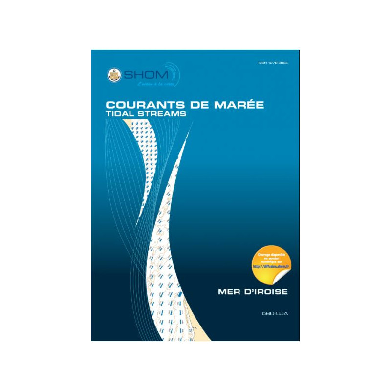




Navigate the Iroise Sea with precision using this tidal currents atlas, covering the area from Vierge Island to Penmarc’h Point. Essential for sailors, divers, and environmental studies.
Data sheet
Specific References
Navigate the Iroise Sea with Unmatched Precision
This tidal currents atlas is the definitive reference for mariners, engineers, and environmental professionals operating along Brittany’s western coast. Covering the critical stretch from Vierge Island to Penmarc’h Point, it provides hourly visualizations of tidal currents for both mean spring and neap tides, derived from advanced hydrodynamic modeling and decades of oceanographic expertise. Designed for real-world applications, it transforms complex data into clear, actionable charts that enhance safety, efficiency, and decision-making in one of Europe’s most dynamic maritime regions.
Engineered for Professional Maritime Operations
Built to support commercial shipping, fishing fleets, and marine infrastructure projects, this atlas features 13 sector-specific charts that detail current fields at one-hour intervals. The Mercator projection ensures accurate plotting without distortion, while the reference to Brest’s high tide provides a consistent baseline for tidal calculations. Whether navigating congested channels, planning port approaches, or assessing environmental impacts, this tool delivers the precision required for high-stakes operations. Its semi-diurnal tidal cycle coverage aligns with the region’s natural rhythms, offering a complete understanding of tidal behavior across all phases.
Durable, Reliable, and Ready for Field Use
Printed on water-resistant paper, this 1 kg atlas is built to withstand the harsh conditions of onboard use. Its physical format eliminates dependence on digital devices, ensuring access even in areas with poor connectivity. For teams that require digital integration, a PDF version is also available, allowing seamless compatibility with onboard systems or office workflows. The unlimited validity of the data ensures it remains a trusted resource for long-term projects, from dredging operations to offshore wind farm development.
Beyond Navigation: A Tool for Environmental and Industrial Applications
This atlas is more than a navigational aid—it’s a critical resource for coastal management and scientific research. Environmental consultants use its current models to assess pollutant dispersion, optimize wastewater outfall locations, or design renewable energy installations. Port authorities rely on it to evaluate sedimentation patterns and plan infrastructure expansions. With its clear, detailed charts, it bridges the gap between raw data and real-world applications, making it indispensable for professionals who demand accuracy and reliability in the Iroise Sea.
This tidal currents atlas provides comprehensive coverage of the Iroise Sea, from Vierge Island to Penmarc’h Point, with 13 sector-specific charts detailing current fields at one-hour intervals. Designed for mean spring and neap tides, it uses a Mercator projection for distortion-free plotting and references Brest’s high tide as its baseline. Printed on durable, water-resistant paper, the atlas weighs 1 kg and is available in a physical format, with a digital PDF version also offered for enhanced accessibility.
With over three centuries of expertise in hydrography and oceanography, this organization is the official authority for maritime cartography and tidal data in France. Renowned for its rigorous scientific standards, it provides critical resources for navigation, coastal management, and environmental studies, ensuring safety and precision in some of the world’s most challenging maritime environments.
The tidal current maps use a Mercator projection, ensuring accurate representation of directions and distances for navigation.
Each sector includes 13 maps, covering tidal currents at hourly intervals.
No, the atlas is currently available only in French.
The reference for tidal height measurements is the high tide at Brest.
Yes, it provides tidal current data for both average spring tides and neap tides.
The paper version weighs approximately 1 kilogram.
Yes, it is suitable for environmental studies, including marine discharge projects and port developments.
You might also like