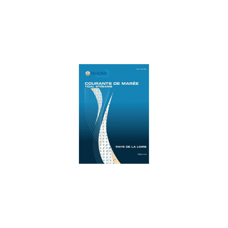





Plan your Atlantic coastal activities with precision using this detailed tidal currents PDF atlas for the Pays de la Loire region. Covers estuaries, bays, and key zones from Quiberon to Yeu Island.
Data sheet
Specific References
Master the Tides of the Pays de la Loire with Unrivaled Precision
This digital atlas redefines tidal navigation for the Atlantic coast of France, offering a comprehensive, hour-by-hour breakdown of tidal currents in the Pays de la Loire region. Engineered for professionals, it combines cutting-edge hydrodynamic modeling with practical, real-world applications, making it an indispensable tool for maritime operations. Whether you're charting a course through the Loire estuary or planning port infrastructure, this atlas delivers the data you need to navigate with confidence.
High-Resolution Data for Critical Decision-Making
Leveraging a 2013 high-resolution hydrodynamic model, this atlas provides detailed tidal current charts for three key sectors: the Loire estuary, the bay from Croisic to Pouliguen, and Bourgneuf Bay. Each sector includes 13 maps, updated hourly to reflect tidal changes during both spring tides (coefficient 95) and neap tides (coefficient 45). Additional charts highlight maximum current speeds during average spring tides, ensuring you have the most accurate data for high-stakes navigation.
Designed for Maritime Professionals and Enthusiasts
From commercial shipping to environmental studies, this atlas is built to meet the demands of diverse maritime activities. Its Mercator projection aligns with standard navigational tools, while the inclusion of surface-level 2D currents offers actionable insights for real-time decision-making. Ideal for fishing, regattas, diving, and shellfish farming, it also supports critical operations like port infrastructure planning and environmental impact assessments.
Digital Convenience with Long-Term Value
Accessible via secure download, this PDF atlas can be used on up to five workstations, making it perfect for teams. With free updates for one year and unlimited validity, it’s a cost-effective solution for long-term tidal navigation. Whether you're a seasoned mariner or a maritime professional, this atlas ensures you stay ahead of the tides.
This digital atlas provides high-resolution tidal current charts for the Pays de la Loire region, covering the Loire estuary, the bay from Croisic to Pouliguen, and Bourgneuf Bay. It includes 13 hourly maps per sector for both spring (coefficient 95) and neap tides (coefficient 45), with additional charts for maximum current speeds during average spring tides. Delivered in PDF format, it supports up to five workstations and includes free updates for one year.
With a legacy of expertise in hydrography and oceanography, this organization is a trusted authority in maritime data and navigation resources. Specializing in high-precision tidal and current modeling, their publications are essential tools for professionals navigating complex coastal waters, ensuring safety, efficiency, and accuracy in all maritime operations.
The atlas uses very high-resolution hydrodynamic modeling, completed in 2013, providing more detailed maps than previous versions, especially for the Loire estuary.
The atlas covers three geographic sectors: the Loire estuary, the area from Croisic Bay to Pouliguen Bay, and Bourgneuf Bay, with an overview extending from the Quiberon peninsula to Yeu Island.
The maps show tidal currents for both average spring tides (coefficient 95) and average neap tides (coefficient 45), covering a full semi-diurnal tidal cycle.
The atlas includes maps for every hour of the tidal cycle, providing a detailed view of current changes over time.
No, the atlas is only available in French.
The digital PDF is licensed for use on up to 5 computers.
The reference point for tidal predictions is high tide at Saint-Nazaire.
You might also like