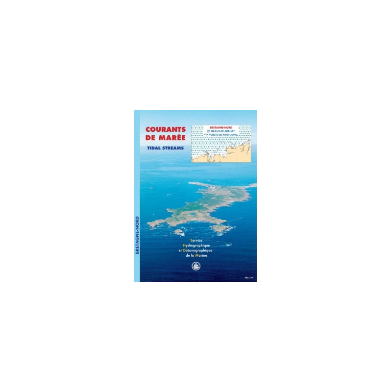





This digital tidal currents atlas maps Brittany’s northern coast from Héaux-de-Bréhat to Pontusval Point. Access hourly surface currents for navigation, diving, or environmental studies in PDF format.
Data sheet
Specific References
This digital tidal current atlas is an indispensable tool for commercial shipping professionals, mariners, and offshore operators navigating the northern coast of Brittany. Covering the stretch from Les Héaux-de-Bréhat to Pointe de Pontusval, this atlas provides hourly tidal current data for both spring and neap tides, ensuring optimal route planning and safety in one of France’s most dynamic maritime zones.
Developed using advanced hydrodynamic modeling, bathymetric data, and decades of tidal expertise, this atlas delivers unparalleled accuracy for maritime decision-making. Each sector—including the approaches to the Sept-Îles archipelago, Lannion Bay, Morlaix Bay, Roscoff, and Île de Batz—is detailed with 13 high-resolution charts, allowing professionals to anticipate current shifts with confidence.
Available as a downloadable PDF, this atlas streamlines access to critical tidal data without the constraints of physical documents. Delivered via secure download link, WeTransfer, or compressed file, it ensures rapid deployment across up to 5 workstations per license—ideal for fleet management, port authorities, and maritime consultancies. Free updates for one year guarantee access to the latest tidal modeling advancements.
Adopted by commercial shipping companies, port engineers, and environmental agencies, this atlas is the gold standard for tidal current analysis in the region. Its data-driven approach minimizes risks associated with strong tidal currents, optimizing fuel efficiency, reducing transit times, and enhancing operational safety in complex maritime environments.
Master Tidal Currents Along Brittany’s Northern Coast
Navigating the northern coast of Brittany demands precision—this digital tidal current atlas delivers it. Engineered for commercial shipping, port operations, and offshore logistics, it provides hourly surface current data for every phase of the tidal cycle, covering critical zones from Les Héaux-de-Bréhat to Pointe de Pontusval. With 13 high-resolution charts per sector, including the Sept-Îles archipelago, Lannion Bay, and Morlaix Bay, it transforms tidal unpredictability into actionable intelligence.
Hydrodynamic Modeling Meets Real-World Navigation
Built on decades of tidal expertise, bathymetric surveys, and advanced hydrodynamic modeling, this atlas offers unmatched accuracy. Each chart visualizes current speeds and directions at one-hour intervals, tailored for both spring and neap tides. The Mercator projection ensures distortion-free navigation, while the digital PDF format allows seamless integration into onboard systems or port authority workflows. Licensed for 5 workstations, it scales to meet the demands of fleets, maritime consultancies, and environmental agencies.
Optimized for Commercial Shipping and Port Development
From fuel-efficient route planning to port infrastructure projects, this atlas is a strategic asset. Commercial shipping companies rely on its data to minimize transit times and reduce fuel consumption, while port engineers use it to assess tidal impacts on dredging, construction, and environmental compliance. Free updates for one year ensure access to the latest tidal modeling advancements, making it a future-proof investment for high-stakes maritime operations.
Digital Access for Immediate Deployment
Eliminate delays with instant digital delivery. Available as a downloadable PDF via secure link, WeTransfer, or compressed file, this atlas ensures rapid deployment across teams. Its unlimited validity and one-year update guarantee provide long-term value, while the 5-workstation license offers flexibility for growing operations. Whether for fleet management, offshore projects, or environmental studies, it delivers the tidal intelligence needed to navigate Brittany’s challenging waters with confidence.
This digital tidal current atlas provides comprehensive surface current data for the northern coast of Brittany, from Les Héaux-de-Bréhat to Pointe de Pontusval. It includes 13 high-resolution charts per sector, detailing hourly current speeds and directions for a semi-diurnal tidal cycle, with separate data for spring and neap tides. Presented in Mercator projection and PDF format, it is licensed for 5 workstations and includes one year of free updates.
With over three centuries of hydrographic expertise, this organization is the authoritative source for tidal, bathymetric, and maritime data in France. Its products, developed through advanced modeling and decades of field research, are trusted by commercial shipping companies, port authorities, and environmental agencies worldwide. Each publication reflects a commitment to precision, safety, and innovation in maritime navigation.
The atlas provides detailed coverage of the approaches to the Sept-Îles and Lannion Bay, Morlaix Bay, and the areas around Roscoff and Île de Batz.
Each sector includes 13 maps showing surface currents at hourly intervals for a typical semi-diurnal tidal cycle.
The maps use the Mercator projection, ensuring accurate representation of angles and shapes for navigation purposes.
No, the atlas is currently available only in French.
Updates are provided free of charge for one year if a new version of the atlas is released during that period.
The license is limited to five computers per client. Additional licenses must be purchased for use on more than five devices.
The atlas is delivered in PDF format and can be downloaded via a link, WeTransfer, or as a compressed file.
You might also like