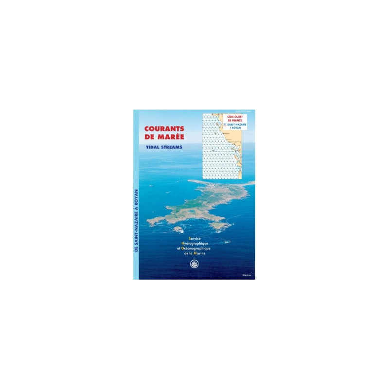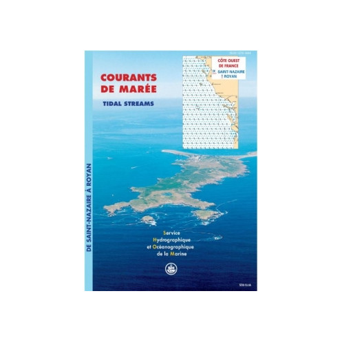





Accurately track tidal currents along France’s western coast, from Saint-Nazaire to Royan, with this detailed digital atlas. Essential for safe navigation, fishing, or environmental studies.
Data sheet
Specific References
Master the Tides of France’s Atlantic Coast with Unrivaled Precision
This Tidal Current Atlas is the definitive digital resource for navigating the dynamic waters from Saint-Nazaire to Royan, where tidal currents dictate safety, efficiency, and operational success. Engineered for maritime professionals, it transforms complex hydrodynamic data into clear, hour-by-hour current charts—covering both spring and neap tides—to eliminate uncertainty in high-stakes environments. Whether you’re piloting a container ship through the Loire Estuary or planning port infrastructure in the Pertuis Charentais, this atlas provides the granular insights needed to make informed decisions.
Data-Driven Navigation for Critical Maritime Operations
Built on decades of bathymetric surveys, tidal modeling, and real-world validation, this tool delivers 12 detailed charts per sector, mapping surface currents at one-hour intervals under average tidal conditions. The Mercator projection ensures seamless compatibility with onboard navigation systems, while the PDF format allows for instant access across devices—no physical charts, no delays. With a 2026 edition and one-year of free updates, it stays ahead of coastal changes, offering a reliable foundation for route optimization, fuel savings, and risk mitigation.
Scalable Licensing for Teams and Organizations
Designed for collaborative use, this atlas supports up to 5 devices per license, making it ideal for fleet operations, port authorities, or engineering teams. Need broader access? Additional licenses are available in 5-device increments, ensuring scalability without compromising security. Delivered via download link, WeTransfer, or compressed file, it integrates effortlessly into digital workflows, from ECDIS systems to mobile devices. For professionals who demand accuracy, efficiency, and adaptability, this is the ultimate tidal navigation tool.
This Tidal Current Atlas provides hourly surface current charts for the West Coast of France (Saint-Nazaire to Royan), covering 12 sectors including the Loire Estuary and Pertuis Charentais. The data reflects average spring and neap tidal conditions, presented in a Mercator-projected PDF format for seamless integration with navigation systems. The 2026 edition includes one year of free updates and is licensed for use on 5 devices, with additional licenses available in increments.
With over 300 years of expertise in hydrography and oceanography, this organization is the official reference for maritime data in France. Specializing in tidal modeling, bathymetric surveys, and hydrodynamic analysis, it provides the foundational data trusted by navies, commercial fleets, and marine engineers worldwide. Every product is built on rigorous scientific validation, ensuring accuracy for the most demanding maritime applications.
The atlas covers the west coast of France, specifically from Saint-Nazaire to Royan, including detailed sectors like the Loire Estuary, Bourgneuf Bay, and the Charente Pertuis.
Tidal currents are shown as surface current fields at hourly intervals during a typical semi-diurnal tide cycle, for both average spring tides and neap tides.
The maps use the Mercator projection, ensuring accurate representation of angles and shapes for navigation purposes.
The license allows use on up to 5 computer workstations per client. Additional licenses can be purchased in increments of 5.
Yes, free updates are provided for one year from the date of purchase.
The atlas is delivered in PDF format, accessible via download link, WeTransfer, or a compressed file.
Yes, it is suitable for environmental studies, including projects involving marine discharges and port developments, due to its detailed current modeling.
You might also like