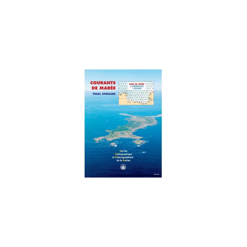



Shom - 561-UJC - courant de marée : Baie de Seine, de Cherbourg à Fécamp
search
  • googlemap
  • Shom - 561-UJC - courant de marée : Baie de Seine, de Cherbourg à Fécamp

Shom - 561-UJC - courant de marée : Baie de Seine, de Cherbourg à Fécamp

€42.40
Tax included
Shom - Service Hydrographique et Océanographique de la Marine
Chart or book in digital version In French language
Book programmed to order
Estimated preparation time: 0 to 3 days

Accurate tidal current charts for the Seine Bay, from Cherbourg to Fécamp, in PDF format. Visualize hourly tidal flows for average spring and neap tides, ideal for navigation, fishing, or diving.

shom-561UJC

Data sheet

Who is the publisher or the author?
Shom
On what digital medium is this nautical chart / book stored?
digital medium
download
From which year does this nautical chart date?
2026
What type of navigation book is this?
tidal currents
Picto
Chart or book in digital version
In French language

Specific References

UPC
400000062662
EAN13
4000000180692
New
Book programmed to order
Description détaillée

Tidal Currents Atlas: Seine Bay, from Cherbourg to Fécamp

Publication in French
Digital version

Precision Navigation for Maritime Professionals

Navigate the challenging waters of the Seine Bay with unparalleled accuracy. This digital tidal currents atlas delivers real-time data on tidal flows, ensuring safe and efficient maritime operations. Designed for commercial shipping, fishing vessels, and environmental studies, it provides critical insights into tidal behavior from Cherbourg to Fécamp, including the Seine Estuary and Cherbourg Roadstead.

Comprehensive Tidal Data for Every Hour

  • Visualize tidal currents at hourly intervals for both spring and neap tides
  • Covers 12 detailed sectors, including the Seine Estuary (Ouistreham to Étretat) and Northern Cotentin
  • Based on advanced hydrodynamic modeling and bathymetric data for unmatched precision
  • Mercator projection ensures accurate spatial representation of tidal flows

Engineered for Maritime Operations

  • Essential for commercial shipping, port authorities, and offshore industries
  • Supports environmental impact assessments, including marine discharges and harbor developments
  • Optimized for professional use in navigation planning, fishing operations, and diving safety
  • Digital PDF format allows instant access and easy integration into onboard systems

Reliable and Up-to-Date

  • 2026 edition with unlimited validity for long-term use
  • Free updates for one year to ensure data accuracy
  • Licensed for use on up to 5 workstations per purchase
  • Delivered via secure download link or WeTransfer for immediate access

Trusted by Industry Experts

This tidal currents atlas is the go-to resource for maritime professionals requiring precise, actionable data. Whether navigating busy shipping lanes, conducting environmental studies, or planning port expansions, this tool provides the detailed tidal insights needed to make informed decisions. Backed by decades of hydrographic expertise, it sets the standard for tidal current mapping in the English Channel.

Master the Tides of the Seine Bay with This Essential Digital Atlas
Unlock the secrets of tidal currents in one of Europe’s busiest maritime regions with this comprehensive digital atlas. Covering the Seine Bay from Cherbourg to Fécamp, this tool provides hourly tidal current data for both spring and neap tides, ensuring safe and efficient navigation for commercial vessels, fishing fleets, and environmental researchers. Built on advanced hydrodynamic modeling and bathymetric precision, it delivers unmatched accuracy for maritime professionals operating in the English Channel.

Precision Data for Critical Maritime Operations
This atlas includes 12 detailed maps of surface currents, covering key sectors such as the Seine Estuary (Ouistreham to Étretat), Northern Cotentin, and Cherbourg Roadstead. Each map visualizes tidal flows at hourly intervals, allowing users to anticipate changes in current strength and direction. The Mercator projection ensures spatial accuracy, making it an indispensable resource for navigation planning, port operations, and offshore activities. Whether you're managing a commercial fleet or conducting environmental impact studies, this tool provides the data you need to navigate with confidence.

Designed for Professional Use and Long-Term Reliability
The 2026 edition of this digital atlas is built for durability, with unlimited validity and free updates for one year to ensure data remains current. Licensed for use on up to 5 workstations, it is delivered in PDF format via secure download, allowing for immediate access and seamless integration into onboard systems. From commercial shipping to environmental assessments, this atlas is engineered to meet the demands of maritime professionals who rely on precise tidal data to optimize their operations.

This digital tidal currents atlas provides detailed hourly data for spring and neap tides in the Seine Bay, from Cherbourg to Fécamp. It includes 12 sector-specific maps, covering critical areas like the Seine Estuary and Cherbourg Roadstead, with a Mercator projection for spatial accuracy. The 2026 edition is delivered in PDF format, licensed for 5 workstations, and includes free updates for one year.


With over three centuries of expertise in hydrography and oceanography, this organization is a global leader in maritime data and navigation tools. Renowned for its precision and reliability, it provides essential resources for commercial shipping, environmental studies, and naval operations worldwide. Its products are trusted by maritime professionals for their accuracy, innovation, and commitment to safety at sea.

  • This digital tidal currents atlas offers unparalleled precision for navigating the Seine Bay, with hourly data for spring and neap tides across 12 critical sectors. Its advanced hydrodynamic modeling ensures accurate tidal flow predictions, making it indispensable for commercial shipping, fishing, and environmental studies. The digital format allows for instant access and easy integration into onboard systems, while free updates for one year guarantee long-term reliability. Licensed for up to 5 workstations, it provides a cost-effective solution for maritime professionals who demand the highest standards of accuracy and efficiency.
What is the geographic coverage area of this tidal current atlas?

The atlas covers the Seine Bay area, stretching from Cherbourg to Fécamp, including the Seine Estuary (Ouistreham to Étretat), the northern Cotentin region, and Cherbourg Roadstead.

How many tidal current maps are included per sector?

Each sector includes 12 surface current maps, showing variations at hourly intervals.

What tidal conditions are represented in the atlas?

The atlas displays tidal currents for both average spring tides (vive-eau) and neap tides (morte-eau), covering a typical semi-diurnal tidal cycle.

Is the atlas available in a physical format?

No, it is provided exclusively in digital PDF format, delivered via download link or WeTransfer.

How many computers can the atlas be installed on?

The license allows installation on up to 5 computers per purchase.

How long are updates included after purchase?

Free updates are provided for one year following the purchase date.

What projection system is used for the maps?

The maps use the Mercator projection, ensuring accurate spatial representation of tidal currents.

Loading...