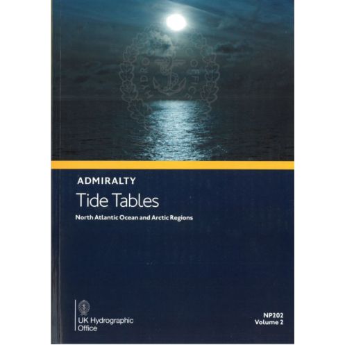




Essential tide predictions for the North Atlantic and Arctic, covering 230+ primary and 6,000 secondary ports. Includes tidal streams, weather effects, and QR-linked updates for safe navigation.
Data sheet
Specific References
Ensure precise voyage planning with this essential annual publication, delivering accurate tidal predictions for over 230 standard ports and 6,000 secondary locations across the North Atlantic Ocean and Arctic regions. Designed for professional mariners, this volume provides critical data to optimize departure and arrival times, enhancing operational safety and efficiency in some of the world’s most challenging waters.
Covering key maritime zones including the United Kingdom, Ireland, and Northern Europe, this reference includes detailed high and low water times and heights, tidal stream information, and meteorological influences on tides. QR codes offer instant access to Notices to Mariners, ensuring you stay updated with the latest navigational warnings and corrections.
Tailored for commercial shipping, offshore operations, and maritime logistics, this publication supports compliance with international safety standards. Its structured format simplifies data interpretation, allowing crews to make informed decisions in real time, even in remote or ice-prone areas.
Printed on high-quality paper for long-term use, this volume withstands harsh marine environments. Its portable design ensures quick reference on the bridge or in the chartroom, making it a trusted tool for captains, navigators, and maritime planners.
Published annually with the latest hydrographic data, this edition reflects the most current tidal models and coastal observations. Whether navigating congested shipping lanes or polar routes, this volume provides the precision needed to mitigate risks and streamline operations.
Master the Tides of the North Atlantic and Arctic with Unrivaled Precision
Navigating the North Atlantic and Arctic demands more than skill—it requires the most accurate tidal data available. This annual publication delivers just that, offering detailed predictions for over 6,230 ports, including 230 standard and 6,000 secondary locations. From the bustling shipping lanes of Northern Europe to the remote waters of the Arctic, these tables provide the critical insights needed to plan safe, efficient voyages in some of the world’s most demanding maritime environments.
Engineered for Professional Mariners
Designed with commercial shipping, offshore operations, and maritime logistics in mind, this volume is a cornerstone of navigational planning. It includes high and low water times and heights, tidal stream data, and meteorological factors affecting tides—all presented in a clear, easy-to-reference format. QR codes embedded throughout the publication offer instant access to Notices to Mariners, ensuring you stay ahead of critical updates and corrections.
Built to Withstand the Rigors of the Sea
Printed on durable, high-quality paper, this publication is built to endure the harshest marine conditions. Its portable, paperback format makes it ideal for use on the bridge, in the chartroom, or during pre-voyage planning. Weighing just 1.9 kg, it strikes the perfect balance between comprehensive coverage and practical usability, ensuring it remains a go-to resource for captains, navigators, and maritime professionals.
Stay Current with Annual Updates
Tidal patterns shift, and navigational challenges evolve—staying current is non-negotiable. This 2026 edition, published on July 1, 2025, incorporates the latest hydrographic data and tidal models, providing the most up-to-date information available. Whether you're navigating congested ports, ice-prone waters, or open ocean, this volume equips you with the precision needed to mitigate risks, optimize routes, and ensure compliance with international maritime safety standards.
This annual publication provides tidal predictions for the North Atlantic Ocean and Arctic regions, covering latitudes from 8.3°N to 66.34°N and longitudes from 133.3°E to 166.31°W. Weighing 1.9 kg, it is published in English and available in a durable paperback format, with the 2026 edition released on July 1, 2025.
For over two centuries, this hydrographic authority has set the global standard for maritime navigation. Renowned for its precision and reliability, it provides essential data and publications trusted by commercial fleets, naval forces, and maritime professionals worldwide. Its commitment to accuracy and innovation ensures navigators have the tools they need to operate safely in any ocean.
This volume covers the North Atlantic Ocean and Arctic regions, including the United Kingdom, Ireland, and Europe, with detailed predictions for over 230 standard ports and 6,000 secondary ports.
The tables include information on how weather conditions can affect tides, but the predictions themselves are based on standard calculations without real-time weather adjustments.
This is an annual publication, with the 2026 edition set for release on July 1, 2025, ensuring the most current data for the covered regions.
Yes, the tables include QR codes that provide quick access to the latest Notices to Mariners for up-to-date navigational information.
The printed volume weighs 1.9 kg, making it suitable for onboard use without adding significant bulk.
Yes, the publication provides information on tidal currents, along with methods for predicting tides and exceptional tidal factors for each zone.
No, this volume is available only in English.
You might also like