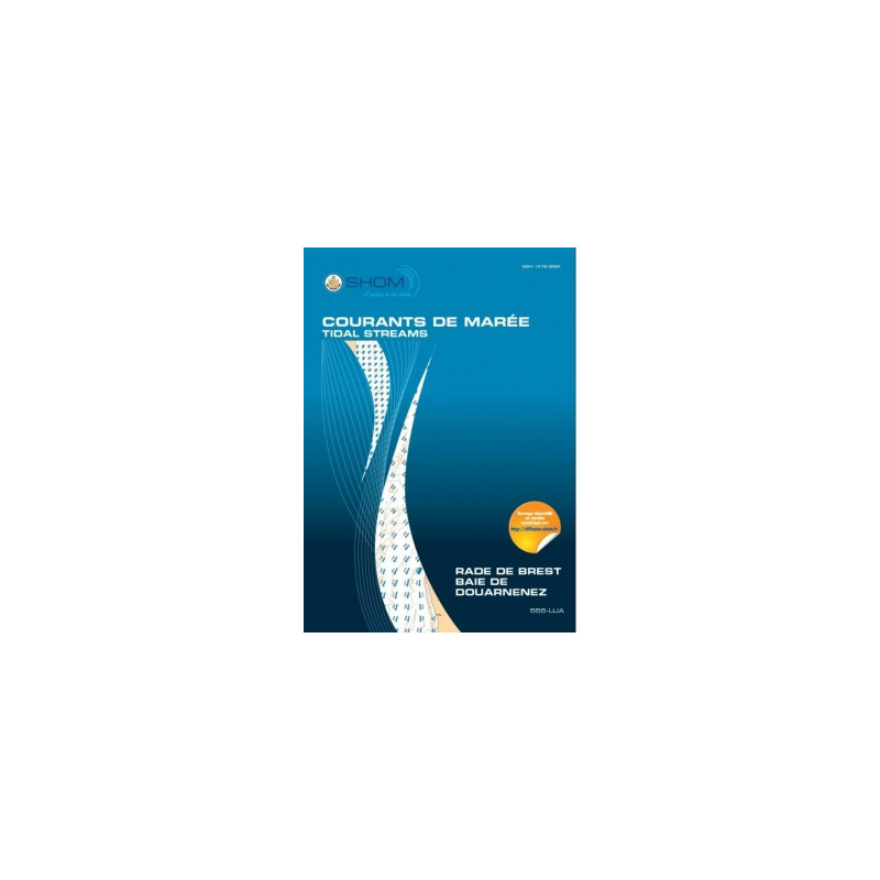





This digital tidal current atlas for Brest Harbor and Douarnenez Bay provides hourly current maps for spring and neap tides. Perfect for navigation, diving, or fishing, delivered in PDF format.
Data sheet
Specific References
Master the Tides of One of France’s Most Complex Maritime Zones
The Brest Roadstead and Douarnenez Bay demand precision—where shifting currents, narrow passages, and high commercial traffic create a navigational gauntlet. This digital tidal current atlas delivers the hydrodynamic intelligence needed to navigate these waters safely and efficiently. Built on decades of oceanographic research, it provides hour-by-hour current fields for mean spring and neap tides, covering critical areas like the Brest Narrows, Elorn Estuary, and Plougastel Daoulas Cove. With 12 Mercator-projected charts spanning from Pointe du Petit Minou to Pointe de Brézellec, this tool is engineered for professionals who cannot afford guesswork.
Data-Driven Decision Making for High-Stakes Operations
Every chart in this atlas is the result of advanced hydrodynamic modeling, incorporating bathymetric surveys, tidal harmonics, and local topographic data. The semi-diurnal tidal cycles of the region are broken down into 1-hour intervals, allowing mariners to anticipate current shifts with confidence. Whether you’re piloting a cargo vessel through the Brest Narrows or planning a dive operation in Douarnenez Bay, this atlas provides the granularity needed to mitigate risks and optimize routes. The digital PDF format ensures compatibility with onboard navigation systems, while the 5-workstation license (with scalable options) makes it adaptable for fleets of any size.
Built for the Demands of Commercial and Environmental Applications
Beyond navigation, this atlas serves as a critical resource for environmental studies, port development, and marine construction. Projects involving waste discharge, coastal engineering, or habitat assessments rely on accurate current data to model impacts and ensure compliance. The atlas’s indefinite validity, paired with a year of complimentary updates, guarantees that your operations stay aligned with the latest hydrodynamic insights. Secure digital delivery via download link or WeTransfer means no delays—deploy it across your fleet or team in minutes and start navigating with confidence.
This digital tidal current atlas provides 12 Mercator-projected charts covering the Brest Roadstead and Douarnenez Bay, with current fields mapped at 1-hour intervals for mean spring and neap tides. Published in 2015 and validated through 2026, it is delivered as a PDF with a 5-workstation license (scalable in increments of 5) and includes one year of complimentary updates. The atlas is optimized for semi-diurnal tidal cycles and covers key areas such as the Brest Narrows, Elorn Estuary, and Plougastel Daoulas Cove.
With over three centuries of expertise in hydrography and oceanography, this organization is the official authority for maritime data in France. Specializing in tidal analysis, bathymetric mapping, and hydrodynamic modeling, it provides the foundational data relied upon by commercial mariners, environmental agencies, and naval operations worldwide. Its products are designed to meet the rigorous demands of professional navigation, ensuring accuracy, reliability, and compliance with international maritime standards.
The atlas covers the Brest Roadstead, including the Brest Narrows, Elorn River mouth, Plougastel Daoulas Cove, and the Douarnenez Bay, spanning from Pointe du Petit Minou to Pointe de Brézellec.
The atlas provides tidal current charts at one-hour intervals for each tide cycle, covering both mean spring and neap tides.
The atlas is provided as a PDF, making it compatible with any device that supports PDF viewing. However, usage is limited to 5 computer workstations per client.
Free updates are available for one year from the date of purchase.
The atlas uses the Mercator projection, which is commonly used for nautical charts to represent lines of constant course.
Yes, it is designed for navigation, diving, fishing, and environmental studies, such as sea discharge projects and port developments, thanks to its detailed hydrodynamic modeling.
The atlas includes 12 charts per sector, detailing tidal currents at different hours of the tide cycle.
You might also like