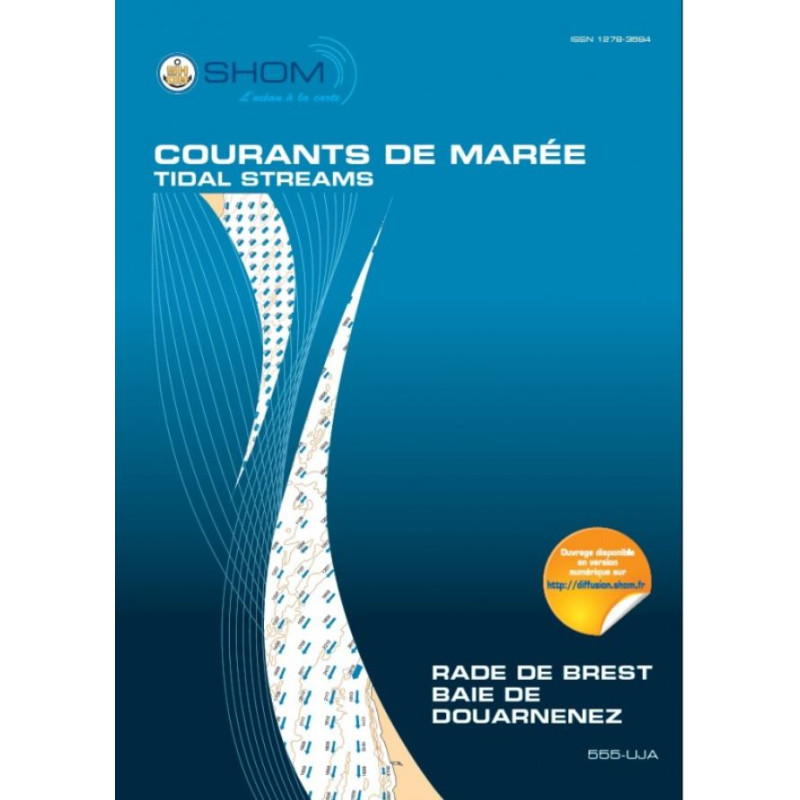




Essential tidal current atlas for Brest Bay and Douarnenez Bay, mapping hourly currents for spring and neap tides. Ideal for navigation, fishing, and environmental studies.
Paper version.
Data sheet
Specific References
Navigate with Confidence Using the Definitive Tidal Current Atlas for Brest and Douarnenez
This tidal current atlas is the ultimate tool for professionals operating in the Brest Roadstead and Douarnenez Bay, two of France’s most strategically important and hydrodynamically complex maritime zones. Published in 2015, this printed atlas provides unparalleled accuracy in tidal current prediction, offering hourly current charts for both spring and neap tides. Whether you're navigating commercial vessels, planning fishing operations, or conducting environmental studies, this atlas delivers the precise data needed to optimize routes, enhance safety, and ensure operational efficiency.
Engineered for Precision and Reliability
Developed using advanced hydrodynamic modeling, bathymetric surveys, and decades of tidal observations, this atlas covers the Brest Roadstead—including the Brest Narrows, Elorn River mouth, and Plougastel Daoulas Cove—as well as the entire Douarnenez Bay, from Pointe du Petit Minou to Pointe de Brézellec. Each chart represents tidal currents at one-hour intervals, allowing mariners to anticipate changes in flow direction and intensity with confidence. The atlas is designed to meet the rigorous demands of commercial shipping, port authorities, and scientific research, providing a critical resource for safe and efficient navigation.
Built for Professional Use in Challenging Environments
Weighing just 1 kg, this printed atlas is durable, portable, and easy to consult on board, even in harsh maritime conditions. Unlike digital tools, it offers a fail-safe solution that doesn’t rely on power or connectivity, making it an indispensable backup for electronic navigation systems. Its large-format charts ensure clarity and ease of use, while its comprehensive coverage of tidal patterns makes it a trusted reference for professionals across the Atlantic and English Channel coasts of France.
A Vital Resource for Maritime and Environmental Operations
Beyond navigation, this atlas plays a key role in environmental planning and infrastructure development. It provides essential data for projects such as marine discharge assessments, port expansions, and renewable energy installations, ensuring compliance with regulatory standards and minimizing ecological impact. Whether you're a ship captain, marine engineer, or environmental consultant, this atlas equips you with the knowledge to make informed decisions in one of Europe’s busiest and most dynamic maritime regions.
This tidal current atlas delivers precise, hour-by-hour tidal current charts for the Brest Roadstead and Douarnenez Bay, covering both spring and neap tides. Published in 2015, it includes detailed mapping of critical zones such as the Brest Narrows, Elorn River mouth, and Plougastel Daoulas Cove, as well as the entire Douarnenez Bay from Pointe du Petit Minou to Pointe de Brézellec. The atlas is printed in French, weighs 1 kg, and is designed for professional use in maritime and environmental applications.
With over three centuries of expertise in hydrography and oceanography, this organization is France’s leading authority on maritime data. Renowned for its precision and reliability, it provides essential resources for navigation, environmental studies, and maritime safety, trusted by professionals worldwide.
The atlas covers the Brest roadstead, including the Brest Narrows, the Elorn estuary, and the Plougastel Daoulas cove, as well as the Bay of Douarnenez from Pointe du Petit Minou to Pointe de Brézellec.
The tidal current fields are represented for each hour of the tide, covering both mean spring and neap tides.
Yes, it provides crucial data for environmental studies such as sea discharge projects, port developments, and renewable energy initiatives.
The paper version weighs approximately 1 kg.
Yes, a digital version of this tidal current atlas is also available.
The atlas is written in French.
This atlas was published in 2015.
You might also like