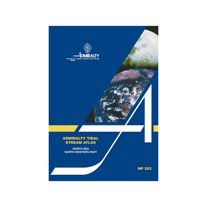




This tidal stream atlas for the northwest North Sea provides 13 detailed charts showing hourly tidal directions and speeds, including neap and spring rates in knots—key for precise voyage planning.
Data sheet
Specific References
Master the Tides of the North Sea’s North-Western Waters
This tidal stream atlas is the definitive resource for mariners navigating the intricate tidal patterns of the North Sea’s north-western region. Designed for professionals who cannot afford uncertainty, it provides hourly tidal stream data with unparalleled precision, ensuring safe and efficient passage through one of the world’s most dynamic maritime environments.
Engineered for Professional-Grade Navigation
Featuring 13 meticulously crafted diagrammatic charts, this atlas covers the North Sea’s north-western sector and adjacent European waters, offering a complete visual representation of tidal streams. Each chart displays direction and velocity data for every hour, with graduated arrows indicating mean, neap, and spring tidal rates in tenths of knots. This level of detail allows for precise route planning, whether navigating during peak tidal flows or calmer periods. A supplementary diagram further enhances its utility by enabling calculations of current flow for specific dates, eliminating the need for complex manual computations.
Built for Durability and Reliability in Harsh Conditions
Constructed in a robust paper format, this atlas is designed to withstand the demanding conditions of bridge environments. Its clear, intuitive layout ensures quick reference, reducing decision-making time when it matters most. Weighing just 1.9 kg, it strikes the perfect balance between portability and durability, making it an essential companion for vessels operating in the North Sea’s challenging waters.
Trusted by Maritime Authorities and Commercial Fleets
Since its first edition, this tidal stream atlas has been the go-to resource for maritime professionals who require accurate, up-to-date tidal data. Its 4th edition, published in 2005, reflects years of refinement and expertise, ensuring that mariners have access to the most reliable information available. Whether you’re managing cargo routes, offshore operations, or emergency response, this atlas provides the tidal intelligence needed to navigate with confidence and efficiency.
This tidal stream atlas provides comprehensive tidal data for the North Sea’s north-western region, featuring 13 detailed diagrammatic charts that display hourly tidal stream direction and velocity. The charts include mean, neap, and spring tidal rates in tenths of knots, with a supplementary diagram for calculating current flow on specific dates. Published in 2005 as the 4th edition, this paper version weighs 1.9 kg and is designed for durability and ease of use in professional maritime environments.
With a legacy spanning over two centuries, this publisher is a global authority in maritime navigation and hydrographic data. Renowned for its precision and reliability, its publications are trusted by commercial fleets, naval forces, and maritime authorities worldwide. Each product is meticulously crafted to meet the highest standards of accuracy, ensuring safety and efficiency for mariners navigating the world’s most challenging waters.
It covers the northwestern part of the North Sea and certain northwestern European waters, with detailed tidal current data for these regions.
Tidal current speeds are shown using graduated arrows, indicating average, neap, and spring rates in tenths of a knot for each hour.
Yes, an additional diagram is included to help calculate tidal stream rates for any given date.
Yes, it is designed for navigation planning and provides essential tidal current data for safe and efficient maritime operations.
The atlas weighs 1.9 kg, making it portable yet comprehensive for onboard use.
The diagrams are detailed but require basic knowledge of tidal current terminology and chart reading for accurate interpretation.
You might also like