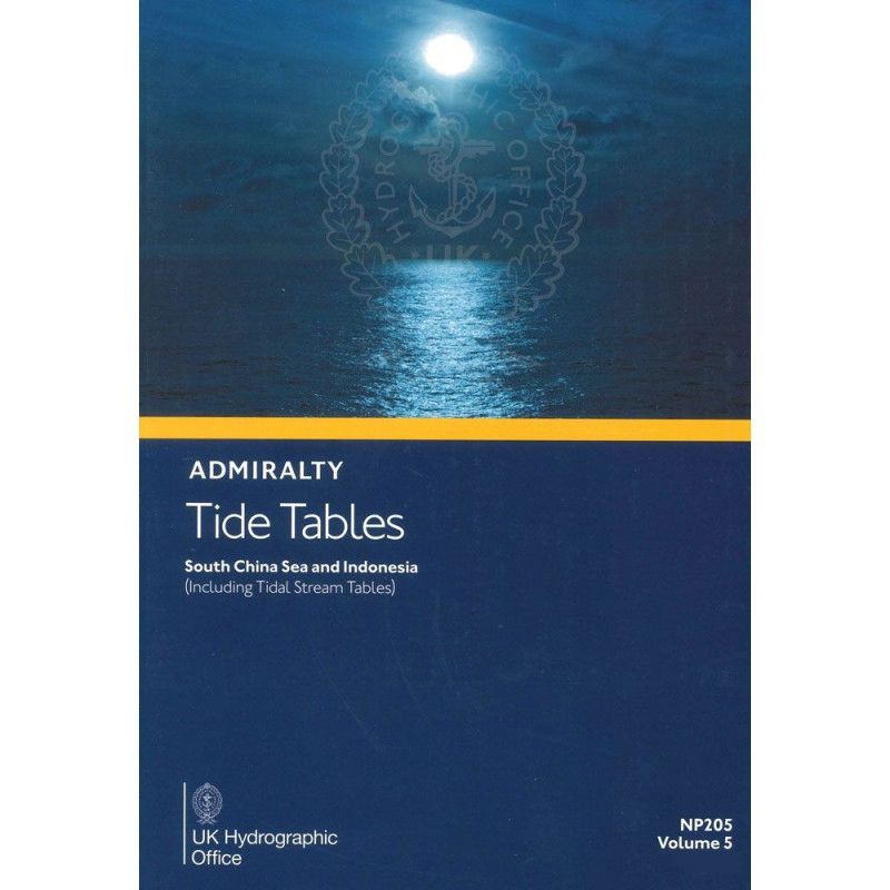




Ensure safe voyages with this 2026 tide table covering the South China Sea and Indonesia. Details high/low tides for 230+ primary and 6,000 secondary ports, plus tidal currents and harmonic constants.
Data sheet
Specific References
Master Tidal Predictions for the South China Sea and Indonesia
Navigating the dynamic waters of the South China Sea and Indonesia demands precision, and this annual tide table delivers just that. Covering over 6,230 ports—including 230 standard and 6,000 secondary locations—it provides the most comprehensive tidal data available for the region, ensuring vessels can plan safe, efficient voyages with confidence. Whether for commercial shipping, offshore operations, or port logistics, this publication is the go-to resource for mariners who cannot afford uncertainty.
Engineered for Professional Use
Designed by hydrographic experts, this volume goes beyond basic tide predictions. It includes tidal stream tables, harmonic constants, and methodologies for adjusting predictions based on meteorological conditions, offering a complete toolkit for accurate voyage planning. The 2026 edition reflects the latest hydrographic surveys and data, ensuring compliance with international maritime standards and supporting adherence to SOLAS regulations.
Built for the Demands of Maritime Operations
The paperback format is engineered for durability in onboard environments, with clear, standardized tables that minimize calculation errors. Weighing 1.9 kg, it strikes the perfect balance between portability and comprehensive coverage, making it an indispensable companion for captains, navigators, and maritime professionals operating in Southeast Asia’s challenging waters.
Optimized for High-Stakes Navigation
In regions where tidal ranges can exceed 5 meters, relying on incomplete or outdated data is not an option. This publication provides the critical insights needed to avoid grounding risks, optimize fuel consumption, and ensure timely port arrivals. From narrow straits to open seas, it equips mariners with the data required to make informed, real-time decisions—reducing operational risks and enhancing efficiency in one of the world’s most trafficked maritime zones.
This annual publication provides tide predictions for over 230 standard ports and 6,000 secondary locations across the South China Sea and Indonesia, including tidal stream tables, harmonic constants, and weather adjustment methodologies. The 2026 edition is presented in a durable paperback format, weighing 1.9 kg, and covers latitudes from 32.43°N to 21.22°S and longitudes from 89°E to 140.58°E.
For over two centuries, this hydrographic authority has set the global standard for maritime navigation publications. Renowned for accuracy, reliability, and adherence to international regulations, their tide tables and nautical charts are trusted by commercial fleets, naval forces, and maritime professionals worldwide. Each publication undergoes rigorous updates to reflect the latest hydrographic data, ensuring compliance with SOLAS and other critical safety standards.
This volume covers the South China Sea, Indonesia, and surrounding areas, including over 230 standard ports and 6,000 secondary ports.
Yes, this publication includes tidal stream tables, along with methods for tidal prediction and harmonic constants for relevant ports.
The printed version weighs approximately 1.9 kg.
No, this edition is for the year 2026 and provides tide predictions specific to that year.
This volume provides tide predictions for over 230 standard ports.
Yes, it includes information on how weather conditions can affect tidal predictions.
You might also like