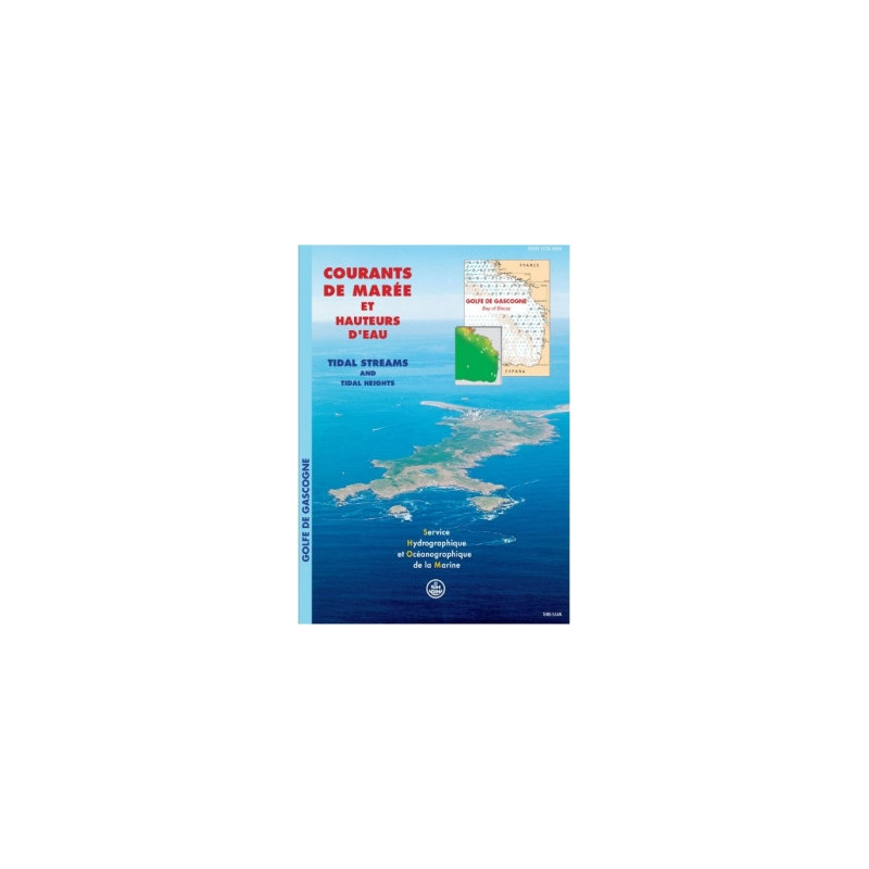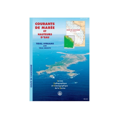





Accurately predict tidal currents in the Bay of Biscay with this digital PDF atlas. Covers hourly tidal flows for average spring and neap tides, ideal for safe navigation and marine planning.
Data sheet
Specific References
Navigate the Bay of Biscay with Unmatched Tidal Precision
This digital tidal current atlas delivers the most accurate and detailed hydrodynamic data available for the Bay of Biscay, covering the critical stretch from Brest to Saint-Jean-de-Luz. Designed for professionals who demand reliability, it provides hourly current vectors for both mean spring tides (coefficient 95) and mean neap tides (coefficient 45), ensuring you can plan every voyage with confidence. The Mercator projection guarantees spatial accuracy, while the semi-diurnal tidal models reflect the unique patterns of the region. Whether you're charting a course for commercial shipping, assessing port infrastructure, or conducting environmental studies, this atlas is your indispensable tool for mastering the dynamic waters of the Atlantic and Channel coasts.
Built on Decades of Hydrographic Expertise
This atlas is the result of France’s leading hydrographic authority’s unparalleled expertise in tidal observation, bathymetric mapping, and hydrodynamic modeling. The data is not just theoretical—it’s validated against real-world measurements, ensuring that every current vector you rely on is grounded in precision. The digital format (PDF) allows for seamless integration into your navigation systems, with the flexibility to access it on up to 5 workstations. Need more? Additional licenses are available in increments of 5, making it easy to scale for larger teams or fleets.
Designed for the Demands of Professional Mariners
This isn’t just another tidal chart—it’s a professional-grade tool engineered for the rigors of maritime operations. The atlas is delivered via download or WeTransfer for instant access, so you can start using it immediately. With unlimited validity, you can rely on this data for long-term planning without worrying about expiration. Plus, you’ll receive free updates for the first year if new versions are released, ensuring your data stays current. Whether you're navigating commercial routes, planning port expansions, or conducting environmental impact assessments, this atlas provides the actionable insights you need to operate safely and efficiently in the Bay of Biscay’s challenging tidal environment.
This digital tidal current atlas provides comprehensive coverage of the Bay of Biscay, from Brest to Saint-Jean-de-Luz, with hourly current data for mean spring tides (coefficient 95) and mean neap tides (coefficient 45). The atlas is delivered in PDF format, ensuring compatibility with all standard navigation systems. It includes a Mercator projection for spatial accuracy and is designed for semi-diurnal tidal patterns. Licensed for use on up to 5 workstations, with additional licenses available in increments of 5, it offers unlimited validity and free updates for the first year.
With over two centuries of expertise in hydrography and oceanography, this organization is France’s official authority for maritime data. Renowned for its precision in tidal modeling, bathymetric mapping, and hydrodynamic analysis, it provides the foundational data trusted by commercial mariners, port authorities, and environmental agencies worldwide. Its products are engineered to meet the highest standards of accuracy and reliability, ensuring safety and efficiency in even the most challenging maritime environments.
The atlas covers the Bay of Biscay, spanning from Brest to Saint-Jean-de-Luz along the Atlantic coast of France.
Tidal currents are shown as hourly fields for both mean spring tides (coefficient 95) and mean neap tides (coefficient 45).
The maps use the Mercator cartographic projection for accurate spatial representation.
No, the atlas is currently available only in French.
A single license allows installation on up to 5 devices. Additional licenses can be purchased in increments of 5.
Updates are provided free of charge for one year if a new version is released during that period.
The atlas accounts for semi-diurnal tides, which are characteristic of the covered region.
You might also like