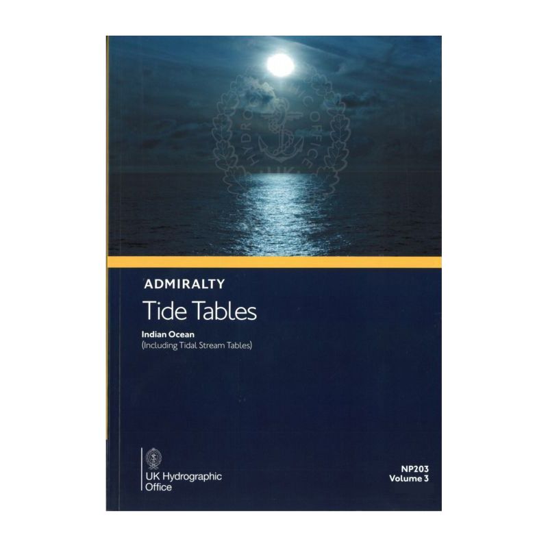


Admiralty - NP203 - Tide Tables Vol 3 Indian Ocean

search
  • googlemap
  • Admiralty - NP203 - Tide Tables Vol 3 Indian Ocean

Admiralty - NP203 - Tide Tables Vol 3 Indian Ocean

€85.25
Tax included
Admiralty - United Kingdom Hydrographic Office
In English language
Estimated preparation time: 5 to 14 days

This 2026 tide table for the Indian Ocean delivers precise high/low water predictions for 2,300+ ports, plus tidal stream data and weather insights for safer navigation.

NP203

Data sheet

Who is the publisher or the author?
Admiralty
On what digital medium is this nautical chart / book stored?
paper medium
From which year does this nautical chart date?
2026
What type of navigation book is this?
tide tables
What is the size?
paper medium
Picto
In English language

Specific References

UPC
400000062761
EAN13
4000000107781
New
Description détaillée

Admiralty Tide Tables Volume 3 Indian Ocean

Publication in English
Paperback edition

Essential Navigation Tool for Maritime Professionals

Navigate the Indian Ocean and South China Sea with unmatched precision using this comprehensive annual publication. Designed for commercial mariners, shipping professionals, and offshore operators, this tide table delivers critical data for safe and efficient voyage planning. Covering over 230 standard ports and thousands of secondary locations, it ensures accurate tidal predictions for every leg of your journey.

Comprehensive Tidal and Current Data

  • Detailed predictions for high and low waters, including exact times and heights
  • Tidal stream tables for navigating complex currents in key maritime zones
  • Advanced methodologies for calculating tidal movements in secondary ports
  • Critical insights into meteorological effects on tidal patterns
  • Specialized data for extreme tidal conditions in high-risk areas

Engineered for Professional Maritime Operations

This publication is the gold standard for commercial shipping, offshore logistics, and port operations in the Indian Ocean region. With coverage extending from major hubs to remote secondary ports, it provides the precise tidal intelligence needed for:

  • Safe harbor entries and departures
  • Optimal route planning to minimize fuel consumption
  • Accurate cargo loading calculations based on water depth
  • Compliance with international maritime safety regulations
  • Emergency response planning in tidal-sensitive areas

Trusted by Global Maritime Industry Leaders

Adopted by shipping companies, port authorities, and naval operations worldwide, this volume represents decades of hydrographic expertise. The 2026 edition incorporates the latest tidal observations and predictive models to deliver unparalleled accuracy for:

  • Container ships navigating congested shipping lanes
  • Offshore supply vessels servicing remote installations
  • Fishing fleets operating in tidal-dependent zones
  • Coastal infrastructure projects requiring precise water level data
  • Search and rescue operations in dynamic tidal environments

Precision Engineering for Critical Maritime Decisions

Every page of this 1.9 kg reference volume is designed to support mission-critical decisions at sea. From the bustling ports of Mumbai to the remote atolls of the Maldives, these tables provide:

  • Standardized data presentation for quick reference under operational pressure
  • Clear methodologies for adjusting predictions based on local conditions
  • Comprehensive coverage of tidal anomalies in cyclone-prone regions
  • Detailed current information for high-traffic shipping corridors
  • Cross-referenced data for seamless integration with digital navigation systems

Master the Tides of the Indian Ocean with Unrivaled Accuracy
This annual tide table publication delivers the most comprehensive tidal intelligence available for the Indian Ocean and South China Sea, covering over 6,000 ports with precision-engineered data. Designed specifically for professional mariners, it combines traditional hydrographic expertise with modern predictive modeling to ensure safe navigation in one of the world's most complex maritime environments.

Engineered for Operational Excellence at Sea
Weighing 1.9 kg, this paperback reference provides instant access to critical tidal data without relying on electronic systems. The 2026 edition features updated predictions for 230+ standard ports and thousands of secondary locations, with special emphasis on high-traffic shipping lanes and cyclone-prone areas. Every prediction is calculated using advanced harmonic analysis and verified against real-world observations to ensure operational reliability.

Complete Tidal Intelligence for Every Maritime Scenario
Beyond basic high/low water predictions, this volume includes specialized data for extreme tidal conditions, meteorological effects on water levels, and detailed current tables for strategic route planning. The publication's standardized format allows for quick cross-referencing between ports, while its comprehensive coverage ensures you have the right data whether navigating major commercial hubs or remote secondary locations.

Built for the Demands of Professional Navigation
From container ships to offshore supply vessels, this tide table is engineered to support the most demanding maritime operations. The paper format ensures reliability in all conditions, while the detailed methodologies provide the tools needed to adjust predictions based on real-time observations. With coverage extending from the Arabian Sea to the South China Sea, it's the single most important reference for any vessel operating in these waters.

This 2026 edition tide table provides annual predictions for the Indian Ocean region, covering latitudes from 32.43°N to 80°S and longitudes from 17.07°E to 89°E. The 1.9 kg paperback volume includes high/low water predictions for over 230 standard ports and 6,000 secondary locations, plus comprehensive tidal stream tables. The publication features standardized data presentation with clear methodologies for adjusting predictions based on local conditions and meteorological effects.

With over two centuries of hydrographic expertise, this publisher sets the global standard for maritime navigation references. Their tide tables are developed using advanced predictive models and verified against real-world observations, ensuring unmatched accuracy for professional mariners. Recognized by shipping companies and naval operations worldwide, their publications combine traditional reliability with modern scientific rigor to support safe navigation in every ocean.

  • This essential navigation reference delivers unparalleled tidal intelligence with comprehensive coverage of over 6,000 ports across the Indian Ocean and South China Sea. The paper format ensures reliable access to critical data without electronic dependencies, while the standardized presentation allows for quick reference during high-pressure operations. Updated annually with the latest predictive models, it provides the accuracy needed for safe harbor entries, optimal route planning, and compliance with maritime safety regulations. The inclusion of tidal stream tables and meteorological effect data makes it a complete solution for professional navigation in complex maritime environments.
What is the coverage area for the tide predictions in this volume?

This volume covers the Indian Ocean and the South China Sea, including detailed tide predictions for over 230 standard ports and up to 6,000 secondary ports in certain areas.

Are tidal current tables included in this publication?

Yes, this publication includes tidal current tables in addition to high and low water predictions for the covered regions.

How often is this tide table publication updated?

This publication is updated annually, with each edition providing predictions for the following year.

What methods are described for predicting tides in this volume?

The volume includes detailed methods for tide prediction, as well as explanations of how weather conditions can affect tidal patterns.

What is the weight of this printed publication?

The printed version weighs approximately 1.9 kilograms.

Does this volume provide information on exceptional tidal factors?

Yes, it includes additional information on exceptional tidal factors specific to the covered regions.

Loading...