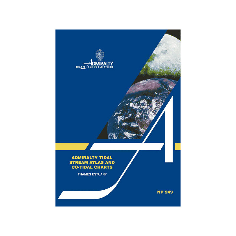




Essential for mariners, this tidal stream atlas details hourly currents in the Thames Estuary. Includes direction, speed, and neap/spring tide data for safe and efficient navigation.
Data sheet
Specific References
Master the Tides of the Thames Estuary with Unrivaled Precision
When navigating the Thames Estuary, tidal currents can make or break a voyage. This Tidal Stream Atlas is the definitive tool for maritime professionals, offering hourly tidal current data in a clear, easy-to-use format. With 13 detailed maps covering the entire estuary, it provides the insights needed to plan routes, avoid hazards, and optimize fuel efficiency—critical for commercial shipping, port operations, and offshore activities.
Engineered for Accuracy and Reliability
Every detail in this atlas is designed for precision. Current speeds are presented in tenths of a knot, with separate data for neap and spring tides, ensuring you have the most accurate information for any tidal condition. Directional arrows and co-tidal charts allow for quick calculations, so you can determine the exact current flow for your voyage date. This level of detail is essential for navigating the estuary’s complex waters, where tidal forces can shift rapidly and impact vessel safety.
Built for the Rigors of Professional Navigation
This paperback atlas is lightweight yet durable, making it ideal for use on the bridge or in the field. Its standardized format ensures consistency, while the large-scale diagrams provide clarity even in challenging conditions. Whether you’re a shipmaster, pilot, or maritime operator, this tool is designed to meet the demands of commercial navigation, helping you stay compliant with regulations and maintain operational efficiency.
This Tidal Stream Atlas delivers essential data for the Thames Estuary, featuring 13 hourly tidal current maps with speeds in tenths of a knot for neap and spring tides. The paperback edition, weighing just 130 grams, includes directional arrows and co-tidal charts for precise current calculations, ensuring accurate navigation planning in one of Europe’s most critical waterways.
With a legacy spanning over two centuries, this publisher is a global authority in hydrographic data and maritime navigation. Their publications are trusted by commercial fleets, naval forces, and port authorities worldwide, setting the standard for accuracy, reliability, and innovation in marine charting and tidal analysis.
The atlas weighs 130 grams, making it lightweight and easy to handle on board.
This edition contains 13 detailed tidal charts covering the Thames Estuary area.
Yes, tidal current speeds are displayed in tenths of a knot for both neap and spring tides.
The tidal current data is presented at hourly intervals for precise navigation planning.
Yes, it provides detailed information on tidal currents for both neap and spring tides.
Absolutely, it includes co-tidal maps and graduated arrows to help calculate current flow for specific dates in the Thames Estuary.
This is the 2nd edition, originally published in 1985 and reprinted in 2004.
You might also like