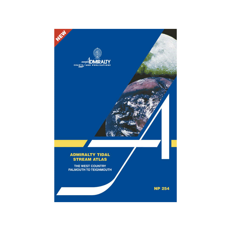




Plan your voyages with confidence using this tidal stream atlas for the UK’s West Country. Hourly tidal current data, including speed and direction, helps optimize routes and enhance safety at sea.
Data sheet
Specific References
Navigate the challenging waters of the West Country with unmatched accuracy. This Tidal Stream Atlas delivers hourly tidal stream data, ensuring safe and efficient voyage planning for commercial vessels, fishing fleets, and maritime operators. Designed for professionals who demand reliability, this atlas transforms complex tidal patterns into clear, actionable insights.
This atlas is a critical tool for maritime professionals operating in the waters of the UK’s West Country. Whether managing cargo routes, coordinating fishing operations, or ensuring safe passage through tidal zones, the detailed tidal stream data provides the clarity needed to make informed decisions. The paperback format ensures durability and ease of use on board, even in demanding conditions.
As a standard reference for tidal stream analysis, this atlas is an indispensable resource for professionals who rely on accurate, up-to-date maritime data. Its clear, diagram-based format ensures quick interpretation, even under pressure, making it a must-have for any vessel operating in the region. Equip your crew with the tools they need to navigate with confidence and precision.
Master Tidal Currents with the Tidal Stream Atlas – The West
Unlock the power of precise tidal navigation with this essential Tidal Stream Atlas, covering the critical waters from Falmouth to Teignmouth. Designed for maritime professionals, this atlas provides hourly tidal stream data, including direction and speed, to ensure safe, efficient, and fuel-optimized voyages. With scaled arrows representing neap and spring tidal rates in tenths of a knot, this tool eliminates uncertainty, allowing captains and navigators to plan routes with confidence. Whether you're managing commercial shipping, fishing operations, or maritime logistics, this atlas delivers the clarity needed to navigate one of the UK’s most dynamic coastal regions.
Engineered for Professional Maritime Operations
This atlas is more than a reference—it’s a mission-critical tool for professionals who demand accuracy. The paperback edition is built to withstand the rigors of onboard use, ensuring durability in all conditions. Its diagram-based format allows for quick interpretation of tidal patterns, reducing the risk of delays or hazards caused by unpredictable currents. An additional calculation diagram further enhances its utility, enabling navigators to determine tidal flow for any date, optimizing travel time and fuel consumption. Trusted by maritime operators worldwide, this atlas is the gold standard for tidal stream navigation in the West Country.
Optimize Safety and Efficiency in Every Voyage
Safety and efficiency are non-negotiable in maritime operations, and this Tidal Stream Atlas delivers both. By providing verified tidal data, it helps vessels avoid dangerous currents, reduce fuel costs, and comply with maritime regulations. The atlas is particularly valuable for commercial shipping, fishing fleets, and training programs, where precise navigation is essential. Equip your crew with the tools they need to navigate with confidence, ensuring every voyage is smooth, safe, and cost-effective.
This Tidal Stream Atlas – The West is a paperback publication in English, weighing 1.9 kg. It is the first edition, published in 2003, and provides comprehensive tidal stream data for the coastal region from Falmouth to Teignmouth. The atlas includes hourly tidal stream directions and speeds, with scaled arrows representing neap and spring tidal rates in tenths of a knot, along with a calculation diagram for determining tidal flow on specific dates.
With a legacy of over two centuries, this organization is the global authority in maritime navigation, providing accurate and reliable hydrographic data to professionals worldwide. Their publications are the gold standard for safe and efficient navigation, trusted by commercial fleets, naval operations, and maritime training institutions.
It covers the West Country region from Falmouth to Teignmouth in the UK, detailing tidal currents in selected waters of northwestern Europe.
Tidal stream speeds are shown using graduated arrows, indicating average neap and spring rates in tenths of a knot for each hour.
Yes, an additional diagram is included to help calculate tidal stream flow for any given date, aiding in trip planning.
Yes, it provides precise tidal current data, including direction and speed, making it ideal for professional and recreational navigation.
The atlas weighs 1.9 kg, making it portable yet durable for onboard use.
No, the atlas is only available in English.
You might also like