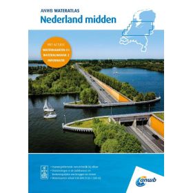
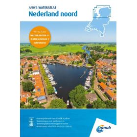
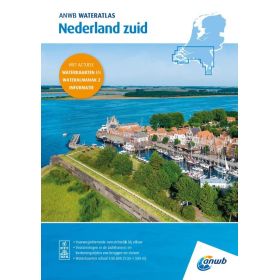
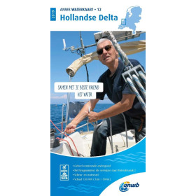
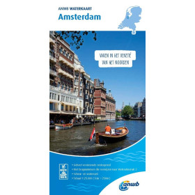
ANWB river guide and chart
ANWB inland waterway charts and guides are designed to support navigation planning on rivers, canals and navigable waterways in the Netherlands and across Europe. This specialist documentation provides useful information on routes, locks, movable bridges, ports, marinas, mooring areas, buoyage and the main characteristics of inland waterways. ANWB publications are particularly suitable for recreational boating and can be used to plan inland cruises on the extensive Dutch waterway network, including areas around Amsterdam, Rotterdam and Utrecht, as well as major routes connecting the Netherlands with Belgium and Germany. They provide practical support for boat owners, leisure boaters, crews and navigators preparing an inland waterway itinerary. ANWB charts and guides can also complement the regulatory and nautical information required for inland navigation, helping users anticipate route constraints, identify stopping places and prepare more efficiently for navigation on European rivers and canals.

 Click here to open our interactive map and select your charts