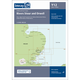
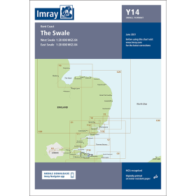
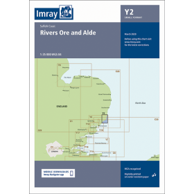
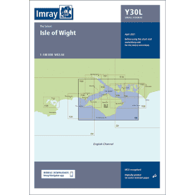
Imray river guide and chart
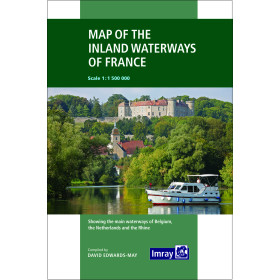
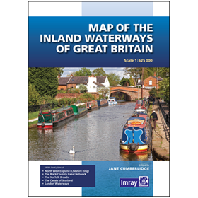
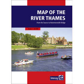
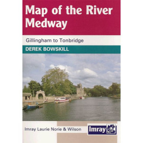
Imray inland waterway charts and guides are designed to support navigation on rivers, canals and inland waterways throughout Europe. Known for their detailed cartographic information and practical navigation data, these publications help boaters plan inland cruises and identify routes, locks, bridges, ports, marinas, moorings and stopping places. The Imray range covers waterways in France, the United Kingdom and several European regions, with information suited to recreational boaters and inland navigators. These guides help prepare a route, anticipate technical passages and locate useful facilities during a voyage. They can complement official charts and documents issued by inland waterway authorities, as well as local regulations and navigation information. An Imray inland waterway chart or guide therefore provides specialised documentation for planning navigation on canals, rivers and waterways, particularly along major European inland cruising routes. They are useful for route planning, onboard navigation and preparing practical stages of an inland waterway journey.

 Click here to open our interactive map and select your charts