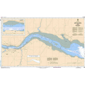
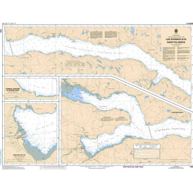
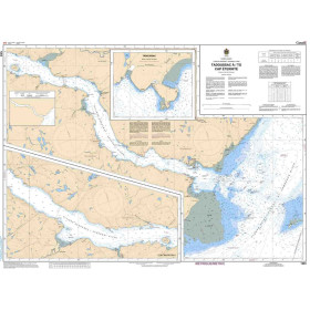
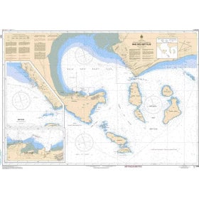
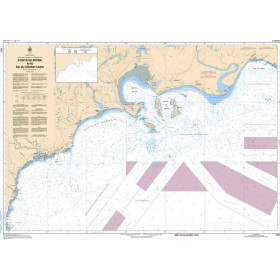
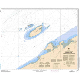
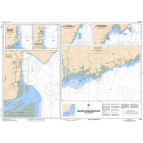
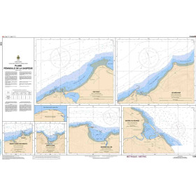
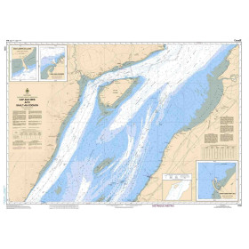
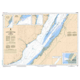
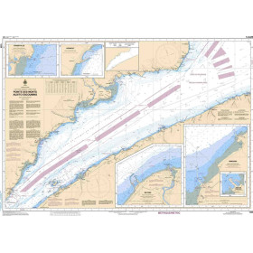
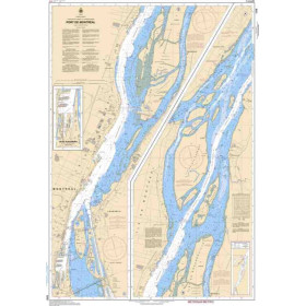
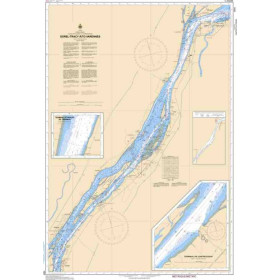
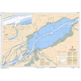
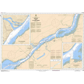
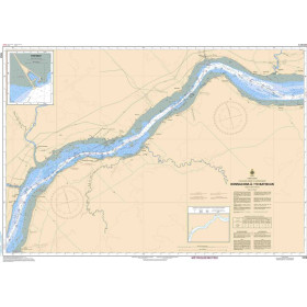
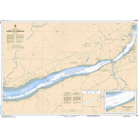
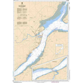
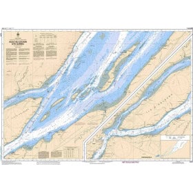
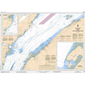
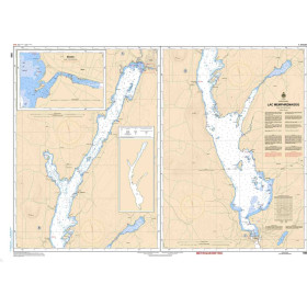
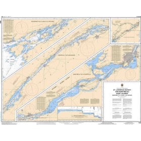
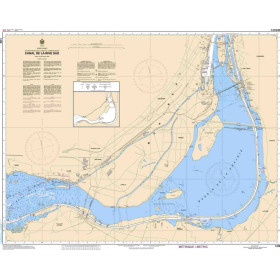
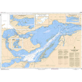
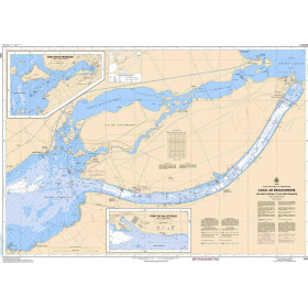
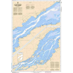
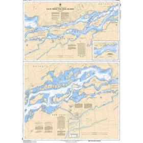
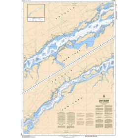
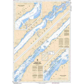
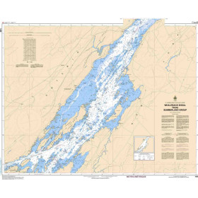
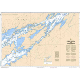
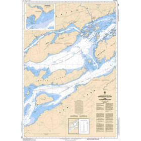
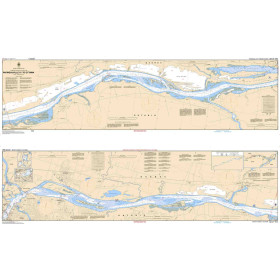
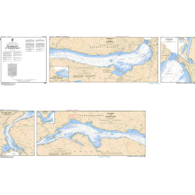
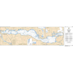
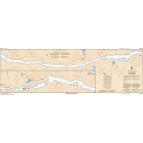
Generalist rivercharts and guides
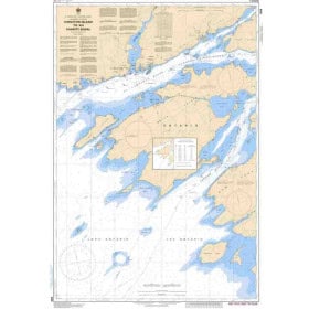
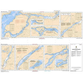
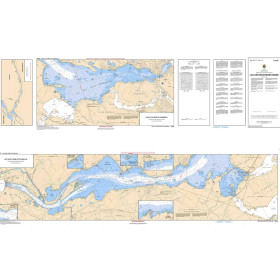
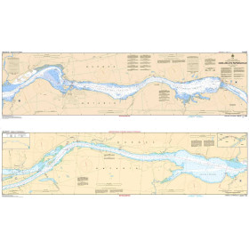
General inland waterway charts and guides provide practical documentation for planning and carrying out navigation on rivers, canals and inland waterways in France and across Europe. These publications help identify routes, locks, bridges, ports, marinas, stopping places, moorings and important points of interest along inland navigation routes. They may cover destinations such as the Seine, Loire, Rhône, Saône, Garonne, Rhine and inland waterways in the Netherlands, Belgium and Germany. These charts and guides are intended for recreational boaters, inland boat owners, crews and navigators looking for accessible documentation when planning a river cruise or canal voyage. Their cartographic and practical information can complement regulatory information and documents issued by inland waterway authorities. Used to plan a route, identify stopping points and anticipate technical passages such as locks and bridges, general inland waterway charts and guides provide useful complementary documentation for recreational inland navigation throughout Europe.

 Click here to open our interactive map and select your charts