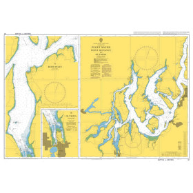
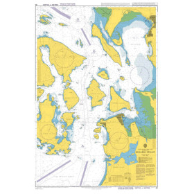
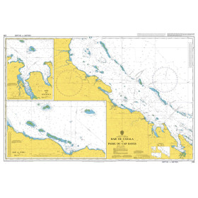
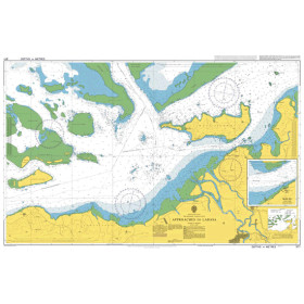
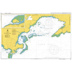
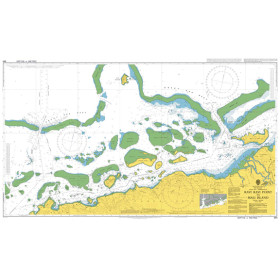
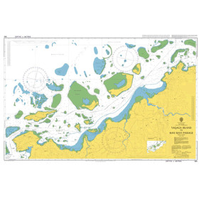
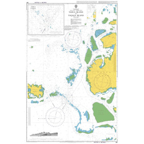
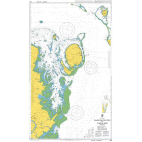
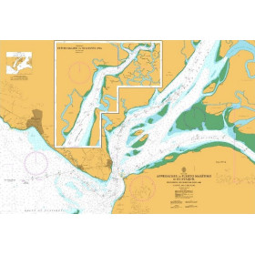
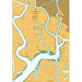
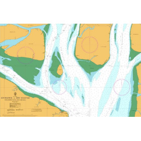
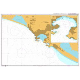
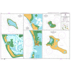
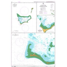
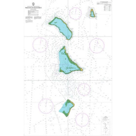
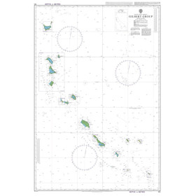
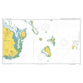
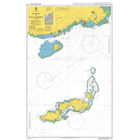
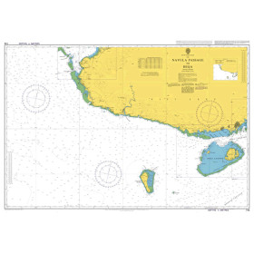
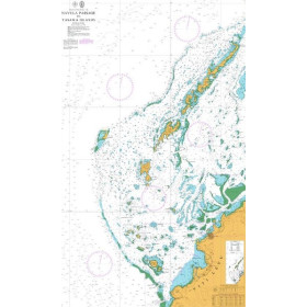
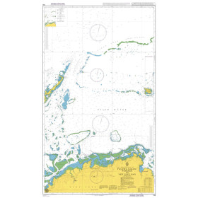
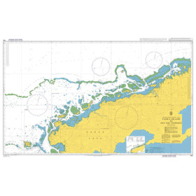
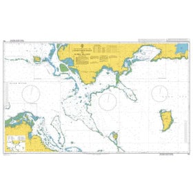
Admiralty nautical chart Pacific ocean
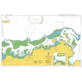
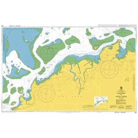
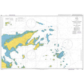
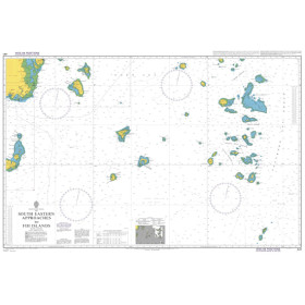
The Admiralty Pacific Ocean nautical chart is designed for planning offshore navigation, ocean passages and circumnavigation projects across the Pacific Ocean. Published by the United Kingdom Hydrographic Office (UKHO), Admiralty charting provides a clear representation of vast maritime areas, major archipelagos, ocean routes and navigation areas. It is particularly useful for planning a passage between the Americas, Polynesia, Australia, New Zealand or Asia, before selecting the larger-scale nautical charts required for coastal navigation. An Admiralty Pacific Ocean chart also allows sailors to visualise the major stages of a long-distance voyage and plan a circumnavigation. It provides an effective complement to passage charts, coastal charts, nautical publications and electronic navigation systems. Nautic Way offers Admiralty nautical charts suited to the different areas of the Pacific Ocean and to the needs of professional mariners, offshore recreational sailors, circumnavigators and navigation schools.

 Click here to open our interactive map and select your charts