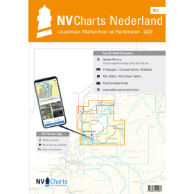
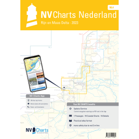
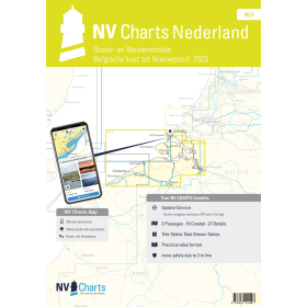
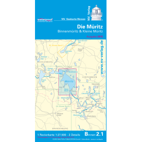
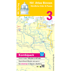
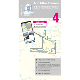
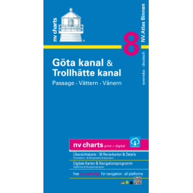
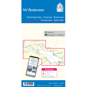
NV Charts river guide and chart
NV Charts inland waterway charts and guides support route planning and navigation on rivers, canals and European inland waterways. These publications combine cartographic information with practical navigation data to identify routes, locks, bridges, ports, marinas, moorings and useful stopping places. NV Charts documentation covers different inland navigation areas in Germany and Europe, including major river routes and canal networks used by recreational boaters. An inland waterway chart or guide helps navigators plan a route, assess the different stages of a voyage and anticipate technical passages such as locks and bridges. These publications are intended for recreational boaters, inland boat owners, crews and navigators looking for detailed documentation when planning a river or canal cruise. They can complement official information issued by inland waterway authorities and applicable local navigation regulations. NV Charts inland waterway charts and guides therefore provide practical documentation for inland navigation and the preparation of European river and canal routes.

 Click here to open our interactive map and select your charts