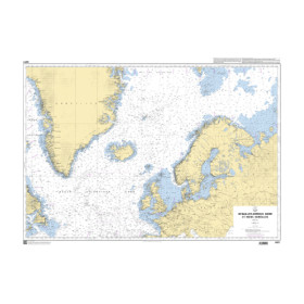
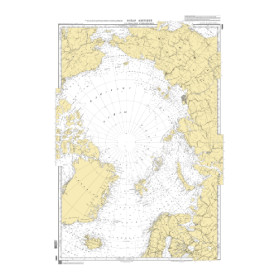
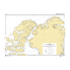
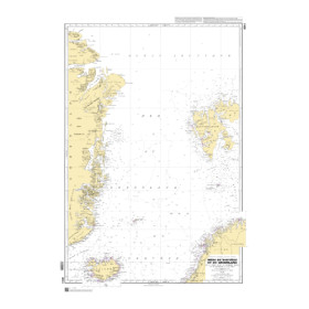
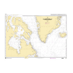
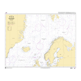
Shom C nautical chart Arctic ocean
The Shom C Arctic Ocean nautical chart is a rolled paper marine chart designed for sailors planning polar navigation, expeditions or passages in high latitudes. It provides an overview of the main maritime areas of the Arctic, including the Arctic Ocean, Barents Sea, Norwegian Sea, Greenland Sea and approaches to the Northeast Passage and Northwest Passage. It offers a general view of the maritime routes connecting Europe, Russia, Greenland, North America and the Arctic regions. Ports such as Tromsø, Longyearbyen, Reykjavík, Nuuk, Murmansk and Nome can be positioned within their wider maritime environment. This Shom C chart complements Shom nautical publications and specialised cartography from Admiralty, Imray and NV Charts, depending on the areas covered. Nautic Way offers this rolled Shom C nautical chart to sailors, maritime professionals, polar expeditions, sailing schools and marine cartography enthusiasts planning navigation in the Arctic.

 Click here to open our interactive map and select your charts