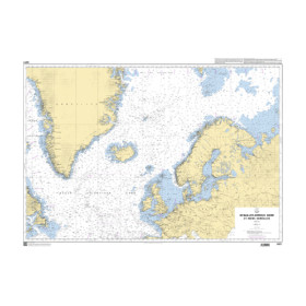
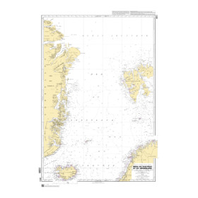
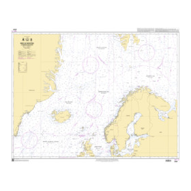
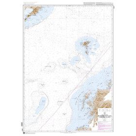
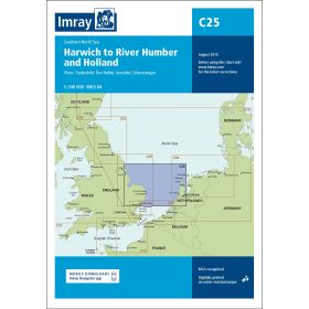
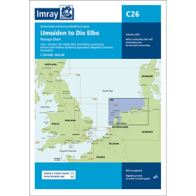
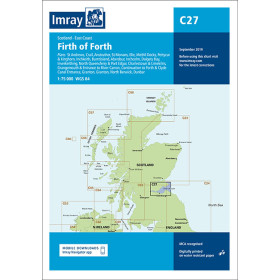
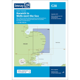
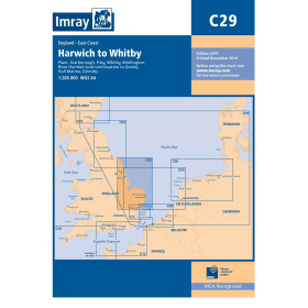
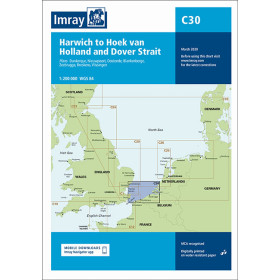
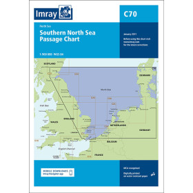
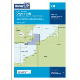
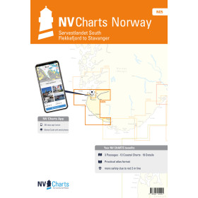
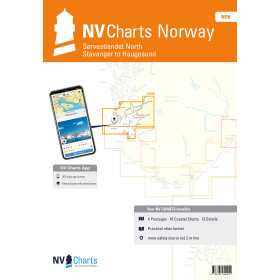
Nautical chart for the North Sea
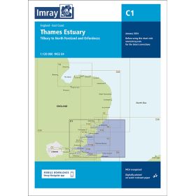
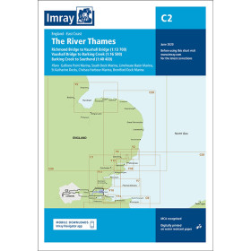
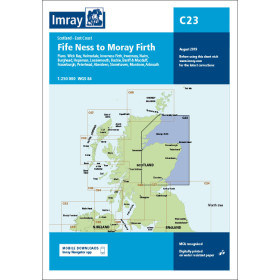
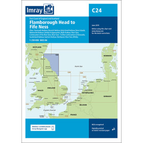
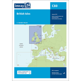
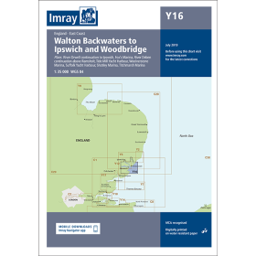
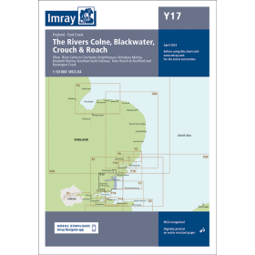
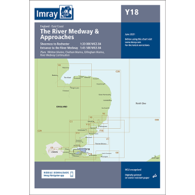
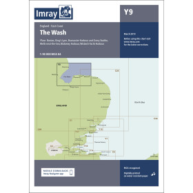
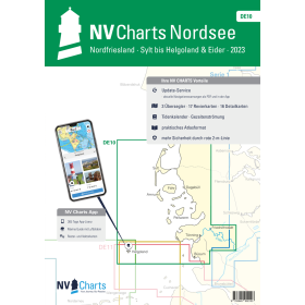
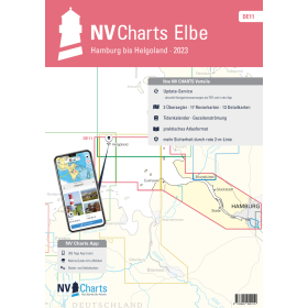
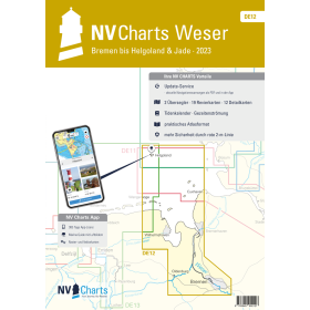
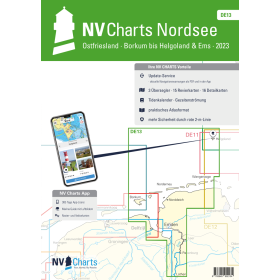
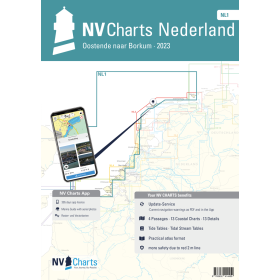
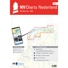
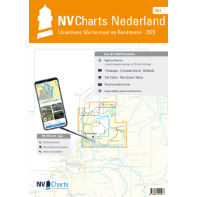
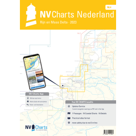
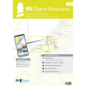
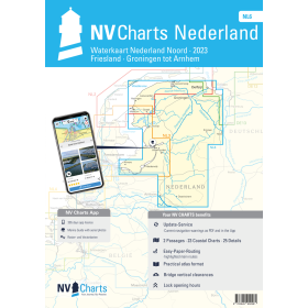
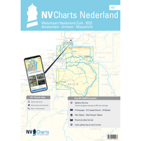
Are you looking for a paper nautical chart of the North Sea to plan a coastal voyage, a crossing or a cruise in Northern Europe? This selection covers the main sailing areas of the North Sea, between France, the United Kingdom, Belgium, the Netherlands, Germany, Denmark and Norway. Explore the approaches to the ports of Calais, Dunkirk, Ostend, Rotterdam, Amsterdam, Hamburg, Bremerhaven, Esbjerg, Bergen and Aberdeen, as well as the main shipping routes connecting the North Sea with the English Channel, the Baltic Sea and the Atlantic Ocean. Admiralty charts provide detailed international coverage of this region, while Imray and NV Charts complement nautical charting for many recreational sailing areas. National hydrographic offices also publish official charts covering their respective territorial waters. Whether you are planning a North Sea crossing, sailing towards the British Isles or heading towards Scandinavia, choose a paper nautical chart suited to your itinerary and required scale.

 Click here to open our interactive map and select your charts