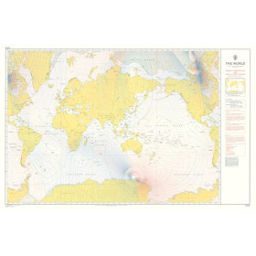
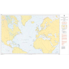
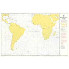
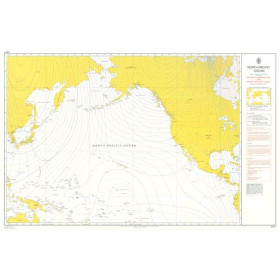
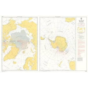
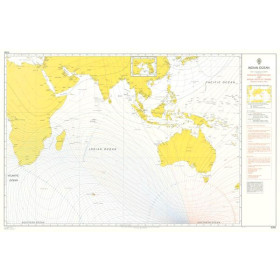
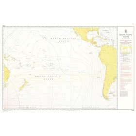
Chart magnetic declination
A magnetic declination chart is a specialized nautical document used to determine the variation between true north and magnetic north according to position and the year concerned. This information is essential for correcting compass courses and planning accurate navigation at sea. It can be used in many regions, including the Atlantic Ocean, Pacific Ocean, Indian Ocean, Mediterranean Sea, North Sea, Caribbean Sea and polar areas. It is useful for sailors planning passages between ports such as Brest, Le Havre, Lisbon, New York, Panama, Fort-de-France, Papeete, Sydney or Cape Town. Magnetic declination charts are particularly useful for offshore navigation, navigation exercises and the use of a magnetic compass. SHOM publishes specialized nautical cartographic documents, while publishers such as Admiralty and Imray also offer charts and technical publications for navigation. This document complements paper nautical charts and traditional navigation instruments.