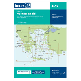
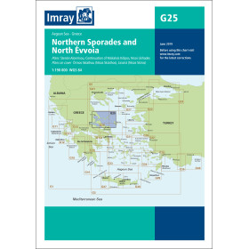
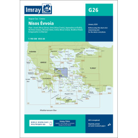
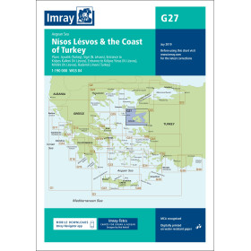
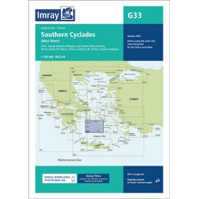
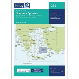
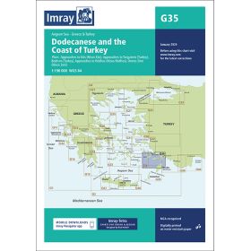
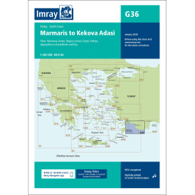
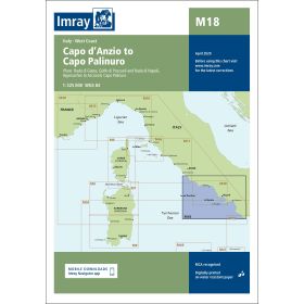
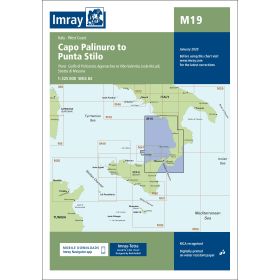
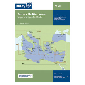
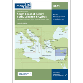
Imray nautical chart Mediterranean
Voici la traduction anglaise, en conservant le vocabulaire nautique et la structure du texte :
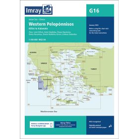
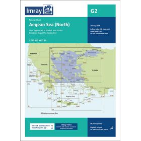
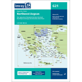
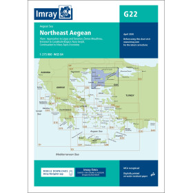
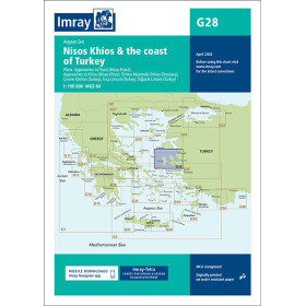
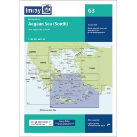
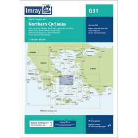
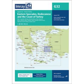
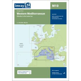
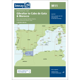
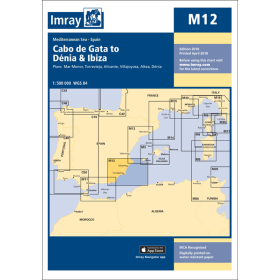
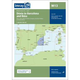
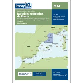
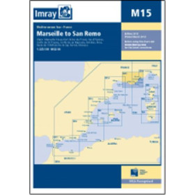
Imray Mediterranean charts cover one of the world’s most iconic and heavily navigated cruising areas, stretching from the Spanish coast to the fringes of the Black Sea and including the Western Mediterranean, Greece, Turkey, Cyprus and Egypt. Their century-old graphic design, standardised symbols, contrasting colours, integrated waypoints and GPS coordinates allow for immediate and intuitive reading at the chart table, covering areas as diverse as the Strait of Bonifacio, the Po Delta (M33), the Corinth Canal (G141), the Tuscan Archipelago (M45) and the Cyclades (G31). The catalogue offers four levels of detail: passage charts (M10, M21) for strategic planning, coastal charts (M14 Barcelona–Bouches-du-Rhône, M15 towards San Remo) for coastal cruising, harbour plans for complex areas, and folios for broader coverage.

 Click here to open our interactive map and select your charts