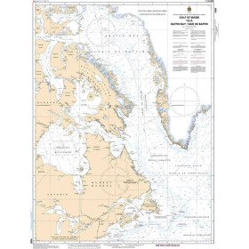
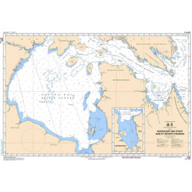
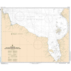
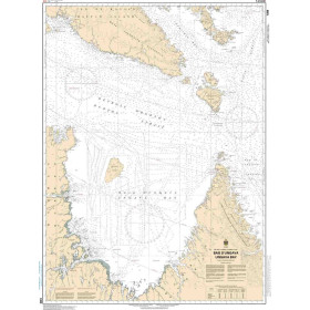
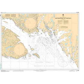
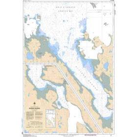
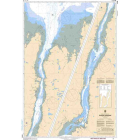
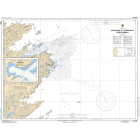
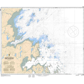
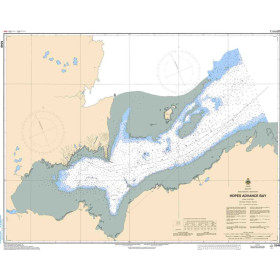
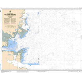
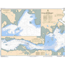
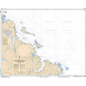
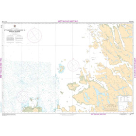
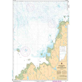
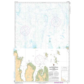
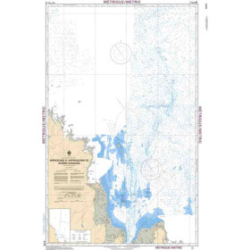
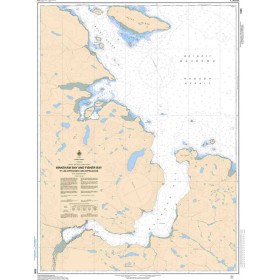
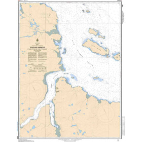
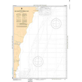
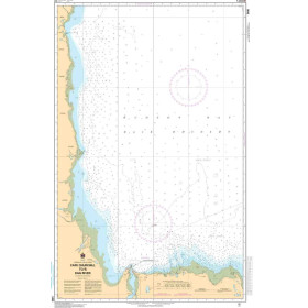
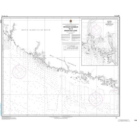
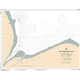
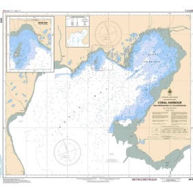
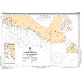
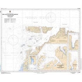
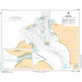
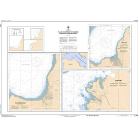
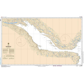
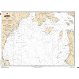
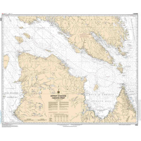
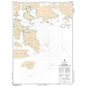
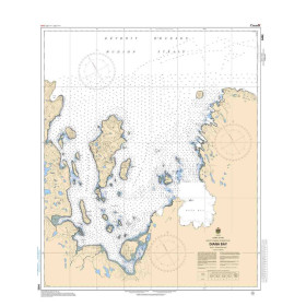
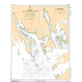
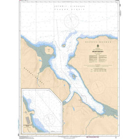
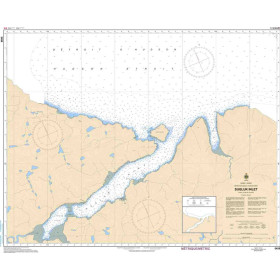
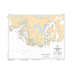
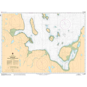
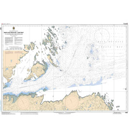
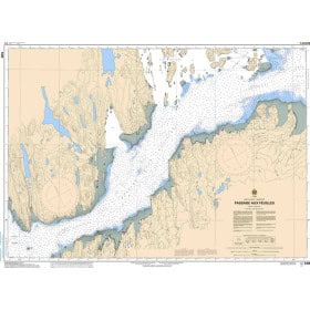
SHC nautical chart Arctic ocean
The Canadian Arctic Ocean, a remote and difficult-to-access region, requires the highest standards of hydrographic accuracy. The Canadian Hydrographic Service (CHS), established in 1883, provides charts for this area covering coastal, nearshore, offshore and oceanic waters, with detailed information on depths in metres, the nature of the coastline, aids to navigation (lighthouses, lights and beacons), and hazards (wrecks and shoals). Complying with International Hydrographic Organization (IHO) standards, these charts are essential for explorers of northern regions, professional mariners—including commercial shipping, fishing, towing and offshore operators—and leisure sailors. They benefit from regular updates through Notices to Mariners. The CHS is progressively shifting its production towards Electronic Navigational Charts (ENCs) while continuing to maintain paper charts as an essential navigation backup.

 Click here to open our interactive map and select your charts