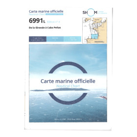
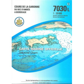
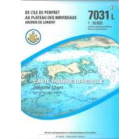
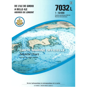
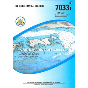
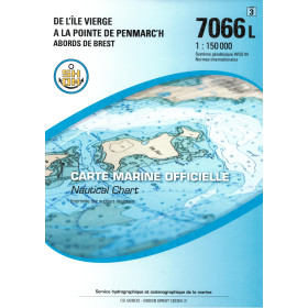
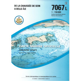
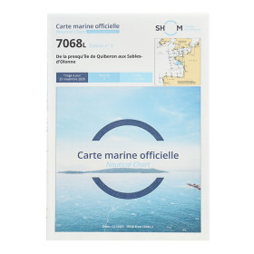
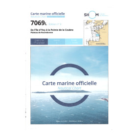
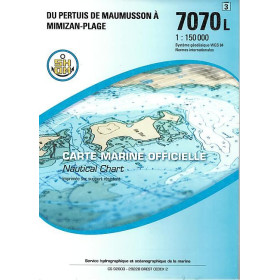
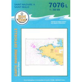
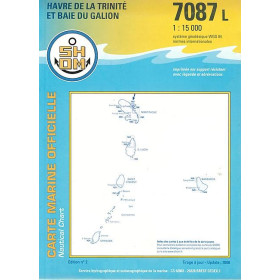
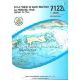
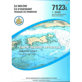
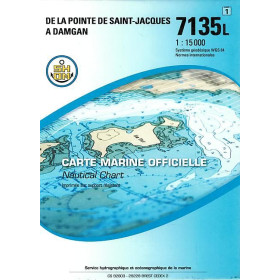
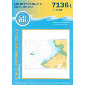
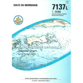
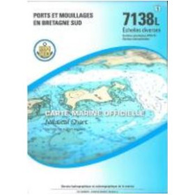
Shom L nautical chart Atlantic Ocean
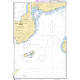
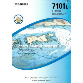
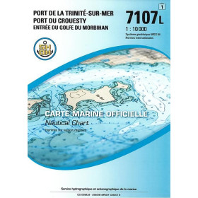
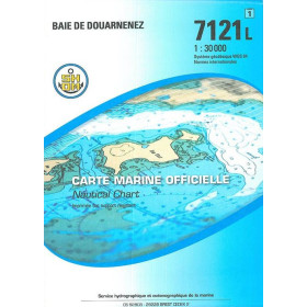
The Shom L Atlantic Ocean nautical chart is a folded paper marine chart designed for coastal sailing, offshore navigation and transatlantic crossings. It covers areas including the Atlantic coastlines of France, Spain and Portugal, the Canary Islands, the Azores, the Caribbean and the main North and South Atlantic routes. It can be used to plan voyages between Brest, Lorient, La Rochelle, Bordeaux, Lisbon, Vigo, Las Palmas, Ponta Delgada, Fort-de-France and Pointe-à-Pitre. This Shom nautical chart provides essential information on depths, reefs, hazards, channels, anchorages and harbour approaches. The Shom L nautical chart complements Shom nautical publications and can be combined with Admiralty, Imray and NV Charts depending on the areas covered. Nautic Way, a European specialist in nautical cartography, offers these folded Shom nautical charts for effectively planning navigation in the Atlantic Ocean, from coastal cruising to a transatlantic crossing.

 Click here to open our interactive map and select your charts