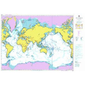
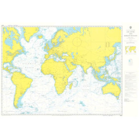
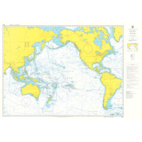
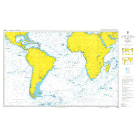
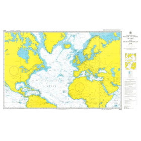
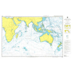
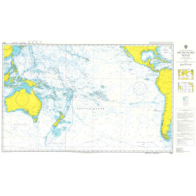
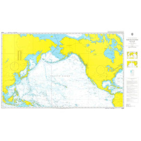
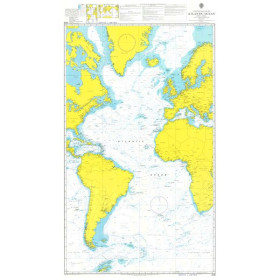
Admiralty nautical chart planisphere
The Admiralty world chart is a global nautical chart designed for planning long-distance passages, offshore navigation and ocean route planning. Published by the UK Hydrographic Office (UKHO), it provides a general representation of the world's major oceans, continents, shipping routes and navigation areas. It is a practical tool for visualising a route on a global scale, planning an ocean crossing or complementing more detailed nautical documentation. Admiralty world charts are particularly suited to long-distance sailors, circumnavigators, navigation schools, merchant navy professionals and maritime cartography enthusiasts. They can be used alongside larger-scale nautical charts, official hydrographic publications and electronic navigation solutions. Nautic Way offers Admiralty charts suited to international voyage planning, with the expertise required to identify the document corresponding to your sailing area and navigation project.

 Click here to open our interactive map and select your charts