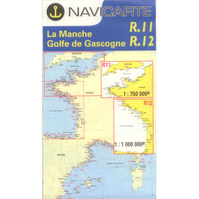
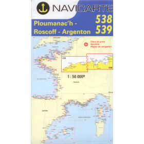
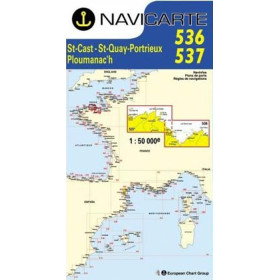
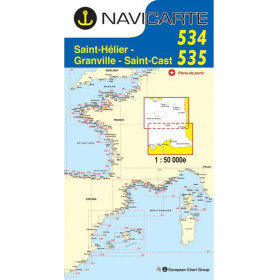
Navicarte nautical chart English Channel
The English Channel is one of the most demanding maritime areas in the world, characterised by powerful currents, dense buoyage and intense international traffic in the Strait of Dover. Navicarte English Channel charts meet these demands with an ergonomic graphic layout featuring simplified symbols, vivid colours, bathymetric precision and practical information on ports, anchorages and local regulations. For the eastern sector, Chart 1010 (Ostend to Boulogne) is the key reference; for the central area, Charts 526 + 527 (Le Havre to Saint-Vaast) or 528 + 1014 (Channel Islands) are essential.

 Click here to open our interactive map and select your charts
Vue carte
Vue liste
8 produits correspondent à vos critères.
Effacer
Vue carte
Vue liste
8 produits correspondent à vos critères.