




Data sheet
Specific References
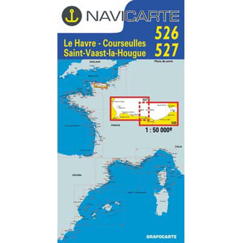
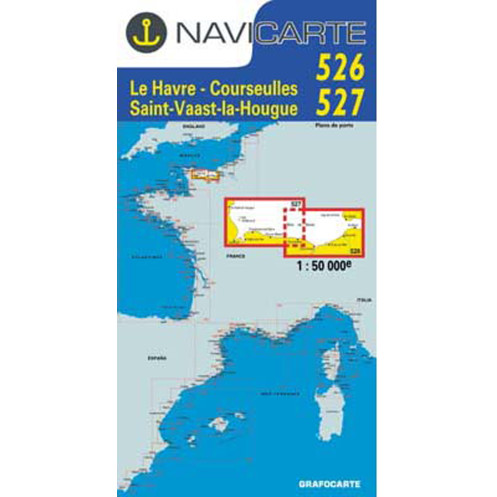
Navigate with confidence along the rugged coastlines of Normandy and the Cotentin Peninsula with this meticulously designed nautical chart. Whether you're a seasoned sailor or a weekend cruiser, this paper chart delivers the precision and clarity needed for safe coastal navigation in one of Europe's busiest maritime regions. Covering the waters from Le Havre to Saint-Vaast-la-Hougue, including the iconic Baie de Seine and the historic ports of the Cotentin, this chart is your essential companion for exploring the English Channel's most scenic and challenging waters.
This nautical chart isn’t just a static map—it’s a dynamic tool crafted to enhance your time on the water. The 1:50,000 scale strikes the perfect balance between detail and overview, giving you the big picture while still allowing you to zoom in on specific hazards or points of interest. The bilingual French/English presentation ensures accessibility for international crews, and the water-resistant, tear-proof paper stands up to the harshest marine conditions, from salt spray to accidental spills.
While digital navigation tools like GPS and chart plotters are invaluable, they’re not infallible. This paper chart serves as a reliable backup, ensuring you’re never left stranded if electronics fail. It’s fully compatible with WGS 84, the global standard for GPS positioning, so you can easily cross-reference your digital and paper charts for added peace of mind. Whether you’re plotting a course in advance or double-checking your position mid-voyage, this chart keeps you in control.
The English Channel is a sailor’s playground, offering everything from bustling commercial ports to serene fishing villages. With this nautical chart in hand, you can explore its many facets with confidence. Plan your route in advance to avoid known hazards, identify safe anchorages, and discover hidden gems along the way. The included port plans make docking a breeze, while the detailed navigational aids ensure you stay on course, even in fog or heavy traffic.
This chart is printed on high-quality, water-resistant paper that resists tearing and fading, so it can handle years of use in the marine environment. Its compact folded size (166 x 315 mm) fits easily in a chart table or navigation bag, making it as practical as it is durable. Whether you’re a weekend sailor or a long-distance cruiser, this chart is designed to be your trusted companion on every voyage.
Beyond its practical benefits, this nautical chart opens the door to some of the English Channel’s most breathtaking destinations. From the dramatic cliffs of Étretat to the charming harbors of the Cotentin Peninsula, the region is rich with history, culture, and natural beauty. Use this chart to uncover hidden coves, plan scenic detours, and make the most of every moment on the water. With its blend of precision, durability, and user-friendly design, it’s more than just a chart—it’s your ticket to unforgettable adventures.
Navigate the English Channel with Precision and Peace of Mind
Discover the ultimate paper nautical chart for coastal cruising in the English Channel, covering the essential waters from Le Havre to Saint-Vaast-la-Hougue. This meticulously crafted chart is designed for sailors who demand accuracy, durability, and ease of use, whether you're planning a weekend getaway or a longer voyage along Normandy’s stunning coastline. With a scale of 1:50,000, it strikes the perfect balance between detailed navigation and a broad overview of the region, ensuring you can confidently navigate both busy shipping lanes and quiet anchorages.
A Reliable Companion for Every Voyage
This nautical chart is more than just a map—it’s a comprehensive navigation tool built to withstand the rigors of life at sea. Printed on high-quality, water-resistant paper, it resists tearing, fading, and moisture, so it remains legible even after repeated use in harsh marine conditions. The chart’s compact folded size (166 x 315 mm) makes it easy to store in a chart table or navigation bag, while its bilingual French/English presentation ensures accessibility for international crews. Whether you're plotting a course in advance or double-checking your position mid-voyage, this chart is designed to keep you on track.
Navigate with Confidence, Backed by Real-World Expertise
What sets this nautical chart apart is its focus on real-world navigation. It includes detailed port plans for easy entry and exit, up-to-date information on buoys, beacons, and lights, and black-and-white photographs of tricky landmarks to help you identify key points of passage. The chart also features navigational aids like tidal stream data and hazard zones, ensuring you can make informed decisions quickly and safely. Compatible with WGS 84, it seamlessly integrates with your GPS or chart plotter, providing an essential backup in case of electronic failure.
Explore the English Channel’s Hidden Gems
The waters from Le Havre to Saint-Vaast-la-Hougue are rich with history, culture, and natural beauty. This chart is your key to unlocking the region’s best-kept secrets, from the dramatic cliffs of Étretat to the charming harbors of the Cotentin Peninsula. Use it to plan scenic detours, discover hidden coves, and navigate with confidence, knowing you have the most accurate and up-to-date information at your fingertips. Whether you're a seasoned sailor or a weekend cruiser, this nautical chart is your trusted companion for unforgettable adventures on the water.
This nautical chart is designed for coastal navigation in the English Channel, covering the waters from Le Havre to Saint-Vaast-la-Hougue at a 1:50,000 scale. It includes two chart numbers (526 and 527) and features detailed port plans, navigational aids, and hazard zones. Printed on water-resistant paper, it measures 166 x 315 mm when folded and is compatible with WGS 84 for seamless integration with GPS systems. The chart is bilingual (French/English) and weighs just 0.09 kg, making it both practical and durable for marine use.
With decades of expertise in marine cartography, this brand is a trusted name among sailors for producing high-quality nautical charts. Specializing in coastal and pleasure navigation, their charts are renowned for their clarity, durability, and practical design, ensuring safe and enjoyable voyages for boaters of all levels.
The chart uses a 1:50,000 scale, providing a balanced level of detail for coastal navigation while maintaining a broad view of the area.
Yes, the chart includes detailed plans of the main ports in the covered area, along with navigational aids like lights and buoys for safe entry.
It includes black-and-white photos of challenging passage points to help mariners visually identify and navigate these areas safely.
Yes, the chart is printed on water-resistant paper designed to withstand moisture and repeated folding without damage.
The folded dimensions are 166 x 315 mm, making it compact and easy to store in a navigation station or chart table.
Yes, the chart is bilingual, featuring both French and English text for broader accessibility.
Yes, it is based on the WGS 84 reference system, ensuring compatibility with GPS and electronic chart plotters for cross-referencing.
You might also like