Due to technical issues currently affecting our @nautic-way.com email system, we kindly ask you to temporarily use our backup email [email protected] Please continue using this address until this notice is removed.
List of products by brand NOAA - National Oceanic and Atmospheric Administration
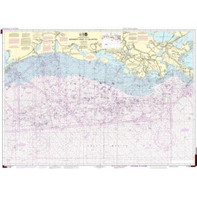
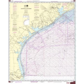
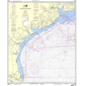
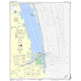
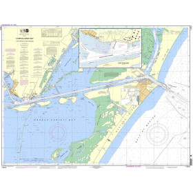
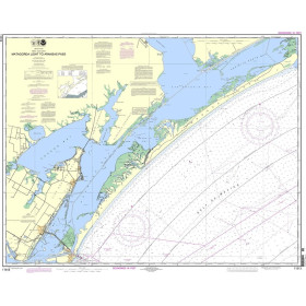
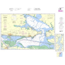
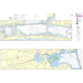
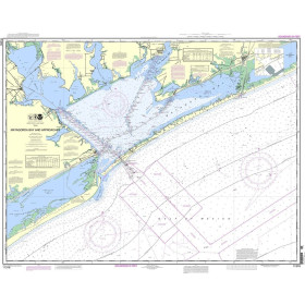
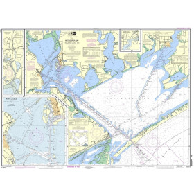
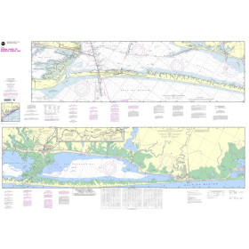
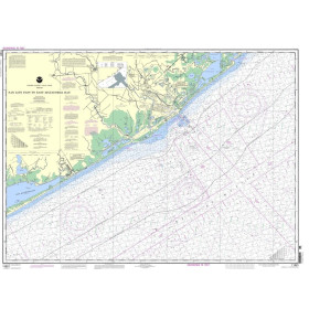
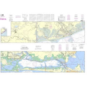
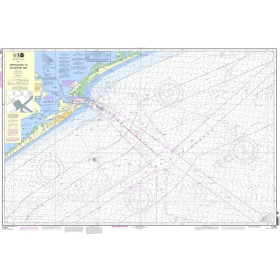
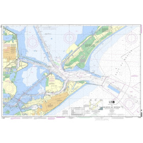
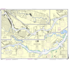
NOAA nautical chart coverage of the US coastline, Great Lakes, Gulf of Mexico and Caribbean.
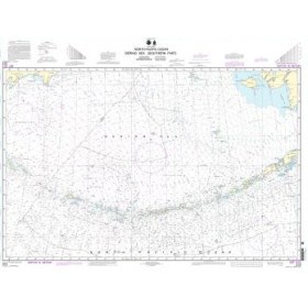
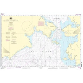
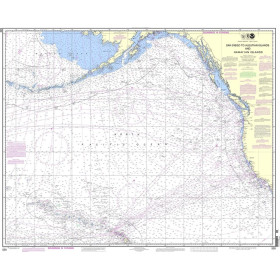
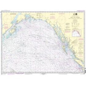
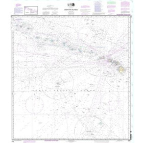
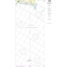
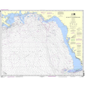
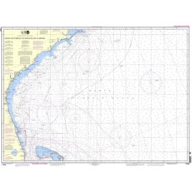
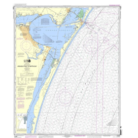
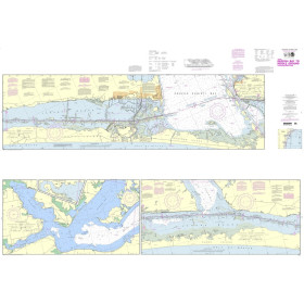
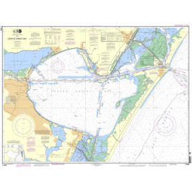
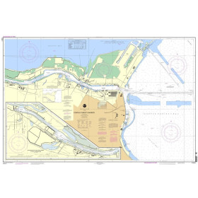
The National Oceanic and Atmospheric Administration (NOAA) is a US federal agency which, through its Office of Coast Survey, produces hydrographic data and nautical charts for US waters. Its coverage includes the Atlantic and Pacific coasts, the Gulf of Mexico, the Great Lakes and selected areas of the Caribbean and Pacific. NOAA charts provide essential information for voyage planning, including depths, soundings, channels, shoals, wrecks, hazards, ports and navigational aids. Since December 2024, NOAA has ceased producing and maintaining its traditional paper nautical charts. Official chart information is now primarily distributed as ENC (Electronic Navigational Charts), regularly updated vector charts. Custom paper representations can be generated from this ENC data, including for passage planning and onboard reference. Nautic Way offers a selection of NOAA chart products covering numerous US navigation areas. It is important to distinguish cancelled historical NOAA paper charts, which must no longer be used for navigation, from printed documents derived from current ENC data. For electronic navigation, users should check compatibility with their charting software or navigation system.

 Click here to open our interactive map and select your charts