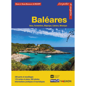
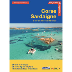
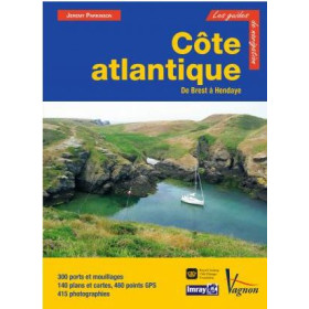
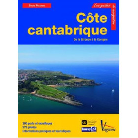
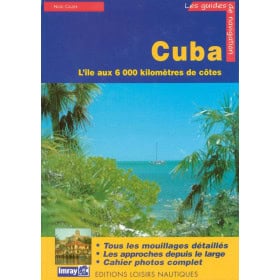
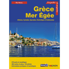
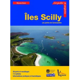
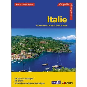
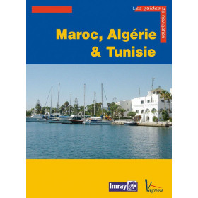
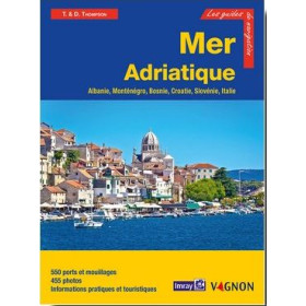
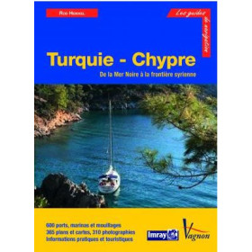
Imray Cruising Guide in French
The Imray guide in French is practical nautical documentation for planning a cruise, coastal navigation or a passage in the main maritime regions. These French-language sailing guides provide information on ports, anchorages, channels, approaches, hazards, currents and local features useful to sailors. Depending on the destination, they cover the English Channel, the North Sea, the Mediterranean Sea, the Atlantic Ocean, the Caribbean Sea or certain areas of the Pacific Ocean. They can be used to plan stopovers in Saint-Malo, Brest, Cherbourg, La Rochelle, Lisbon, Gibraltar, Palma de Mallorca, Las Palmas or Fort-de-France. An Imray guide in French effectively complements paper and digital nautical charts from Shom, Admiralty, Imray or NV Charts. Suitable for both sailing and motor cruising, these nautical guides facilitate route planning, the selection of anchorages, port approaches and the organization of stopovers with clear, specialist information.

 Click here to open our interactive map and select your charts