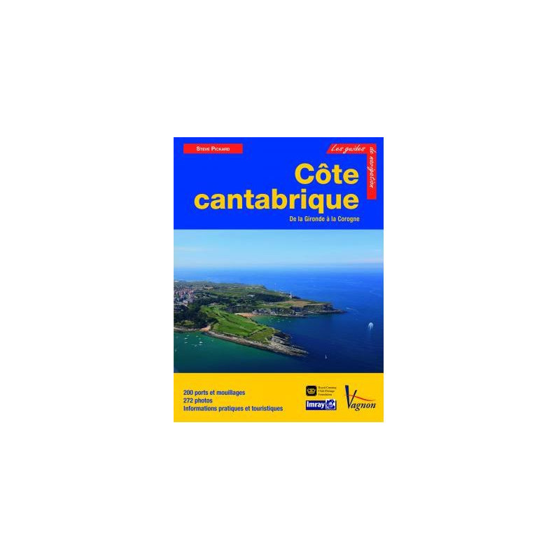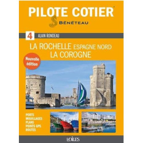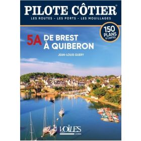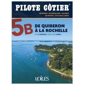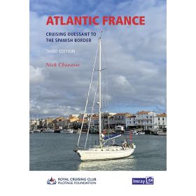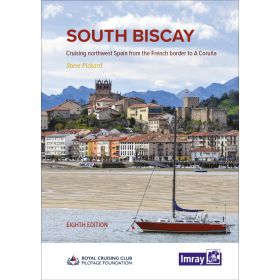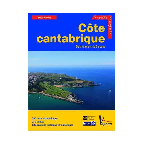




Cruise the Cantabrian Coast from the Gironde to A Coruña with this expert guide. Covers 200 ports, marinas, and anchorages, with 272 detailed maps and photos for seamless navigation.
Data sheet
Specific References
Navigate the stunning Cantabrian Coast with confidence using this comprehensive cruising guide, meticulously crafted for sailors exploring the Atlantic shoreline from the Gironde estuary to A Coruña. Designed for boaters seeking adventure, this guide delivers unparalleled detail on 200 ports, marinas, and anchorages, ensuring safe and enjoyable voyages along one of Europe’s most breathtaking coastlines.
Every entry in this guide is enriched with 272 high-quality photographs, charts, and detailed plans for day and night approaches. Whether you're docking at a bustling marina or anchoring in a secluded cove, you'll find clear instructions on mooring, available facilities, services, and local amenities. The guide also includes practical tourist information, helping you make the most of your stops ashore in France and Spain.
This guide captures the essence of the Cantabrian Coast, a region defined by its dramatic landscapes—from the rugged Pyrenees to the wild beauty of Cape Finisterre. Explore the lush rivers, dense forests, and charming coastal towns that dot this historic route. Written by Steve Pickard, a seasoned sailor and member of the Royal Cruising Club and Ocean Cruising Club, the guide blends practical navigation advice with the spirit of adventure, making it an indispensable resource for cruisers.
Covering the French Atlantic coast from the Landes to Hendaye, the Spanish Basque Country, Cantabria, Asturias, and Galicia, this guide leaves no stone unturned. Whether you're planning a short coastal hop or an extended cruise, you'll find everything you need to navigate safely and explore with ease. The guide’s thorough approach ensures you’re prepared for every aspect of your journey, from tidal considerations to local customs.
Tailored specifically for recreational boaters, this guide prioritizes clarity, accuracy, and usability. Its large format (21 x 29.7 cm) ensures easy reading on deck, while the durable paperback binding withstands the rigors of life at sea. With 200 pages of expertly curated content, it’s the perfect tool for both seasoned sailors and those new to the Cantabrian Coast.
Unlock the Secrets of the Cantabrian Coast with This Expert Cruising Guide
Embark on your next sailing adventure with this indispensable guide to the Cantabrian Coast, covering over 400 nautical miles from the Gironde estuary in France to A Coruña in Spain. This meticulously detailed guide is your key to navigating one of Europe’s most diverse and scenic coastlines, offering unmatched insights into 200 ports, marinas, and anchorages. Whether you're a weekend sailor or a long-distance cruiser, this guide provides everything you need to plan, execute, and enjoy your voyage with confidence.
272 Visual Aids for Effortless Navigation
Say goodbye to guesswork with 272 high-resolution photographs, charts, and detailed plans that cover every aspect of your journey. From approach strategies for day and night navigation to precise mooring instructions, this guide ensures you can safely and efficiently enter even the most challenging harbors. Each entry includes up-to-date information on local services, facilities, and amenities, so you’ll always know what to expect before you arrive.
Expertly Crafted by a Seasoned Sailor
Written by Steve Pickard, a respected member of the Royal Cruising Club and Ocean Cruising Club, this guide reflects decades of firsthand experience navigating the Cantabrian Coast. Pickard’s insights go beyond basic navigation, offering cultural and historical context that enriches your journey. Discover the region’s hidden gems, from secluded anchorages to vibrant coastal towns, and gain a deeper appreciation for the landscapes and communities that make this coastline so special.
Comprehensive Coverage from France to Spain
This guide leaves no stretch of coastline unexplored, covering the French Atlantic coast from the Landes to Hendaye, as well as the Spanish Basque Country, Cantabria, Asturias, and Galicia. Each region is presented with the same level of detail, ensuring you’re prepared for everything from the tidal challenges of the Gironde to the rugged beauty of Cape Finisterre. With this guide in hand, you’ll have the tools to explore with confidence, whether you're cruising for a weekend or embarking on a month-long voyage.
Built for Life at Sea
Designed with sailors in mind, this guide features a durable paperback format (21 x 28.5 cm) that’s easy to handle on deck, even in challenging conditions. Its 200 pages are packed with practical information, yet the layout remains clear and intuitive, allowing you to quickly find the details you need. Weighing just 1.7 kg, it’s lightweight enough to take anywhere, yet robust enough to withstand the demands of life on the water.
This cruising guide is a comprehensive resource for sailors, featuring 200 pages of detailed navigation information, including 272 photographs, charts, and plans. Measuring 21 x 28.5 cm and weighing 1.7 kg, it covers 200 ports and anchorages along the Cantabrian Coast from the Gironde to A Coruña. Published in 2013, this French-language guide is an essential tool for cruisers exploring the Atlantic coastline of France and Spain.
With a legacy spanning decades, this publisher is renowned for producing high-quality nautical guides and charts trusted by sailors worldwide. Their publications are celebrated for their accuracy, attention to detail, and practical insights, making them a go-to resource for recreational and professional mariners alike. Each guide is crafted by experts with deep knowledge of the regions they cover, ensuring reliability and usability on the water.
The guide covers the Cantabrian Coast from the Gironde estuary to A Coruña in Galicia, including the French Atlantic coast from Landes to Hendaye, the Spanish Basque Country, Cantabria, Asturias, and Galicia.
The guide provides precise descriptions of 200 ports, marinas, and anchorages along the covered coastline.
Yes, the guide includes detailed charts and plans for both daytime and nighttime approaches to the ports and marinas.
The guide features 272 photos, charts, and detailed plans to assist with navigation, mooring, and local exploration.
The guide measures 21 x 28.5 cm and weighs approximately 1.7 kg.
Yes, it is designed for cruising and includes comprehensive information on services, equipment, and tourist details for each location.
This edition was published in 2013.
You might also like