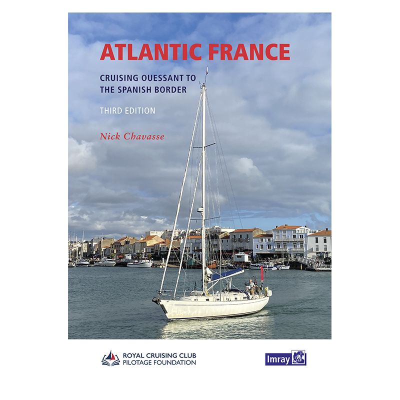




Explore the Atlantic coast of France from Ouessant to Hendaye with this 2023 edition. Featuring revised charts, expert piloting tips, and firsthand coastal insights for safe and scenic navigation.
Data sheet
Specific References
Explore the Atlantic coast of France with confidence and precision
This comprehensive cruising guide is your ultimate resource for navigating the stunning and sometimes challenging waters of Atlantic France, from the rugged shores of Ouessant in the north to the sun-drenched beaches of Hendaye near the Spanish border. Designed specifically for recreational sailors, this guide combines expert local knowledge with practical, up-to-date information to ensure safe and enjoyable voyages along one of Europe’s most popular cruising coasts.
Firsthand coastal exploration and expert insights
Meticulously revised and updated by experienced sailor Nick Chavasse aboard his Bowman 40, Wild Bird, this guide offers unparalleled firsthand knowledge of the region. Every inlet, tidal zone, and hidden anchorage has been personally charted, providing you with accurate, real-world insights that go beyond standard nautical charts. Whether you're navigating shallow sandbanks, passing under low bridges, or exploring quiet rivers, this guide delivers the precise details you need to plan your route with confidence.
Detailed charts, updated plans, and visual aids for safer navigation
Featuring revised and updated navigational plans, this guide includes clear, easy-to-read charts that highlight key landmarks, hazards, and safe passages. Enhanced with numerous new photographs, it helps you identify critical points along your journey, making pilotage simpler and more intuitive. From the powerful tides of the Brittany coast to the intricate channels of the Gironde estuary, every section is designed to help you navigate with accuracy and ease.
Tailored for sailors, by sailors
This guide is crafted with the needs of recreational sailors in mind. It covers everything from historic ports steeped in maritime tradition to secluded anchorages perfect for a peaceful night at sea. With detailed information on tides, currents, and local weather patterns, it equips you to handle the unique challenges of this diverse coastline. Whether you're planning a short coastal hop or an extended cruise, this authoritative guide ensures you’re prepared for every aspect of your voyage.
Trusted resource for a legendary cruising ground
The Atlantic coast of France is renowned for its beauty, history, and sailing opportunities, but it also demands respect due to its dynamic conditions. This guide provides the tools and knowledge to explore it safely, making it an indispensable companion for both seasoned sailors and those new to the region. Fully updated for 2023, it reflects the latest changes in navigation aids, port facilities, and local regulations, so you can sail with the most current information at your fingertips.
Navigate the Atlantic coast of France with the most trusted cruising guide available
This essential nautical guide covers the entire Atlantic coastline of France, stretching over 1,000 nautical miles from the dramatic cliffs of Ouessant to the picturesque shores of Hendaye. Designed for recreational sailors, it provides a wealth of practical information to help you explore this iconic cruising ground with confidence. Whether you're planning a weekend getaway or an extended voyage, this guide is your go-to resource for safe and enjoyable navigation.
Expertly updated and revised for 2023
This third edition has been thoroughly revised and updated by Nick Chavasse, an experienced sailor who has personally explored every mile of this coastline aboard his Bowman 40, Wild Bird. His firsthand knowledge ensures that the guide reflects the latest conditions, including changes in navigation aids, port facilities, and local regulations. With updated charts, new photographs, and revised plans, this edition provides the most accurate and current information available.
Comprehensive coverage for all types of sailing adventures
The guide offers in-depth coverage of a wide range of sailing environments, from the exposed waters of Brittany to the sheltered rivers and estuaries of the southern coast. It includes detailed information on tidal streams, currents, and pilotage challenges, as well as recommendations for anchorages, marinas, and ports of call. Whether you're navigating shallow sandbanks, passing under low bridges, or exploring quiet backwaters, this guide provides the insights you need to sail safely and efficiently.
Designed for practical, on-the-water use
This guide is more than just a collection of charts and data—it’s a practical tool for sailors. The clear, easy-to-read layout includes visual aids such as photographs and annotated plans to help you identify key landmarks and hazards. With its focus on real-world sailing conditions, it’s an invaluable resource for both planning your route and navigating in real time. The sturdy paperback format ensures it stands up to the rigors of life on board, making it a reliable companion for every voyage.
This 2023 edition of the Atlantic France cruising guide is a comprehensive, paperback publication weighing 1700 grams. It includes updated navigational plans, detailed charts, and numerous photographs to assist with coastal pilotage. Written in English, it covers latitudes ranging from 43.2256646°N to 48.6883414°N and longitudes from 5.5726241°W to 1.205138°W, providing full coverage of the Atlantic coast of France.
With a legacy spanning over two centuries, this publisher is a global leader in nautical publications, renowned for producing high-quality charts, cruising guides, and navigational resources. Their products are trusted by sailors worldwide for their accuracy, reliability, and practical insights, making them an essential part of any mariner’s toolkit.
The guide covers the Atlantic coast of France from Ouessant in the north to Hendaye at the Spanish border, including tidal flats, bridges with mast-height considerations, quiet rivers, and sandy islands.
Yes, the 2023 edition features revised and updated plans, along with new photographs to help navigators identify key landmarks.
The guide is bound in a hardcover format, ensuring durability for onboard use.
Yes, it provides detailed coverage of tides, currents, and piloting challenges specific to the region.
The guide weighs approximately 1700 grams, making it sturdy yet manageable for onboard reference.
Absolutely, it offers firsthand insights and authoritative guidance for navigating demanding coastal sections, including historic ports and idyllic anchorages.
You might also like