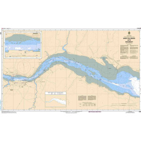
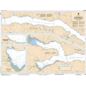
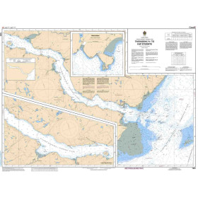
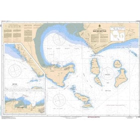
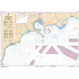
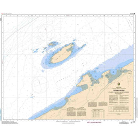
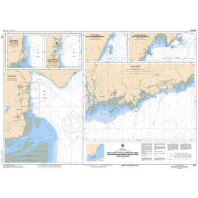
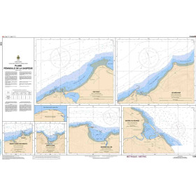
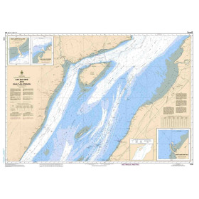
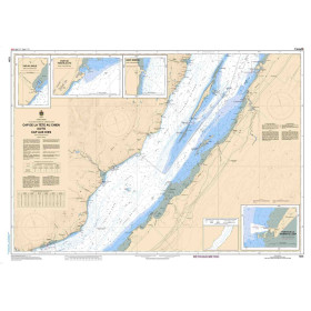
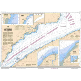
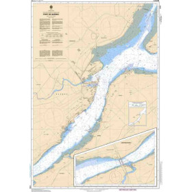
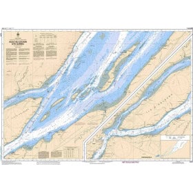
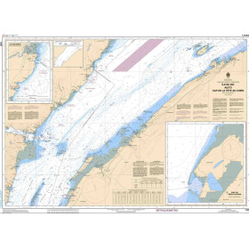
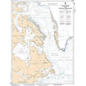
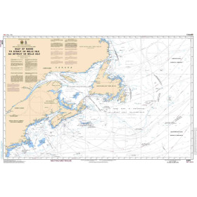
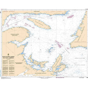
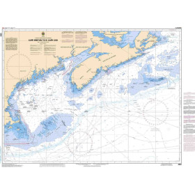
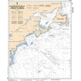
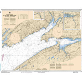
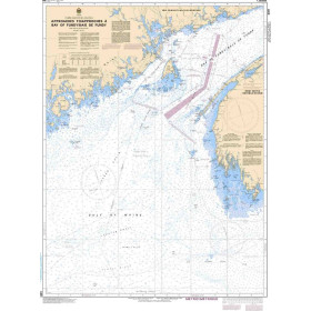
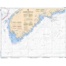
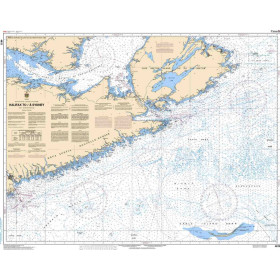
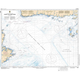
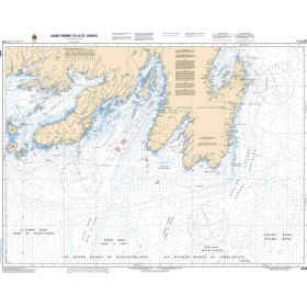
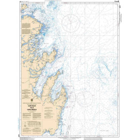
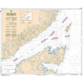
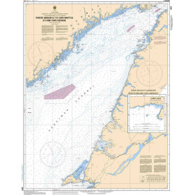
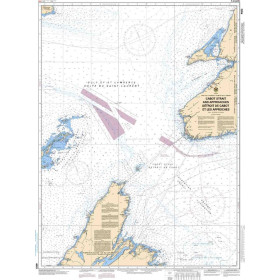
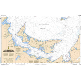
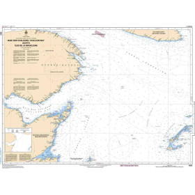
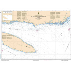
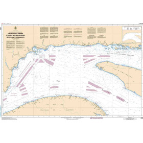
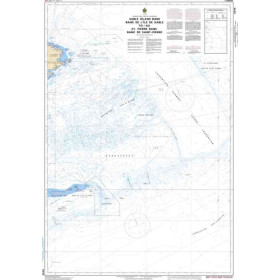
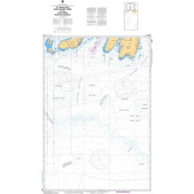
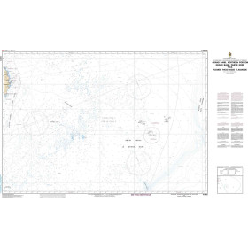
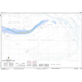
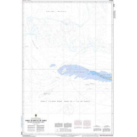
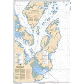
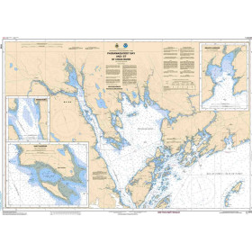
SHC nautical chart Atlantic ocean
The charts produced by the Canadian Hydrographic Service (CHS), established in 1883, cover the Canadian Atlantic Ocean, the St. Lawrence River and the Great Lakes, with approximately 328 products supplied rolled in a tube, including chart 4002 for the Gulf of St. Lawrence and chart 4012 for the Yarmouth–Halifax area. Each chart provides detailed information on depths in metres, aids to navigation (lighthouses, lights, buoys and beacons), hazards (shoals, drying rocks and wrecks), the nature of the coastline and regulated areas, in accordance with International Hydrographic Organization (IHO) standards. These charts are essential for leisure sailors, professional mariners—including commercial shipping, fishing, towing and offshore operators—navigation schools and explorers of northern regions. They are particularly valuable in areas known for changing seabeds, such as the St. Lawrence River. The CHS is progressively shifting its production towards Electronic Navigational Charts (ENCs) while continuing to maintain paper charts as an essential navigation backup.

 Click here to open our interactive map and select your charts