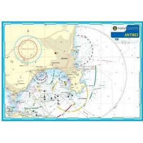
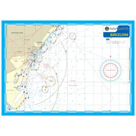
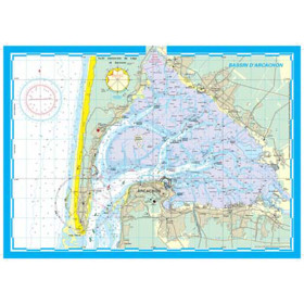
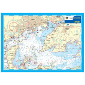
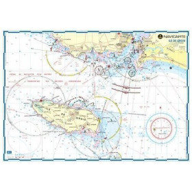
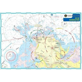
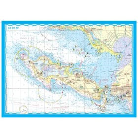
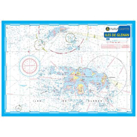
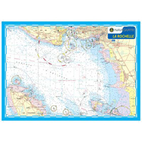
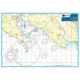
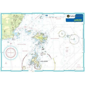
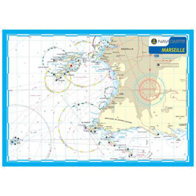
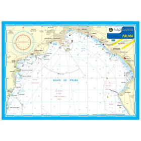
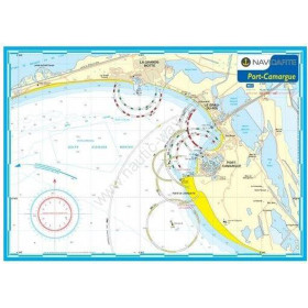
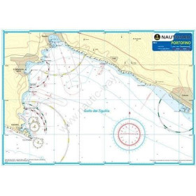
Navicarte nautical chart (mininav)
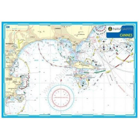
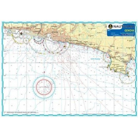
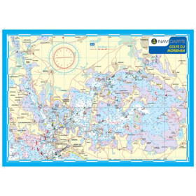
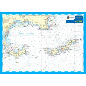
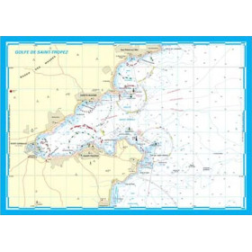
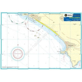
The Navicarte Mininav chart is the benchmark solution for sailors operating in environments exposed to sea spray: canoeing and kayaking, paddleboarding, open canoes and small boats without protection against moisture. Its laminated A3 format makes it fully water-resistant and easy to secure on the deck of a kayak, where conventional charts could tear or become waterlogged. Nautic Way offers Mininav charts covering iconic areas such as the Gulf of Morbihan, Arcachon Basin and the Glénan Islands, as well as Mediterranean destinations such as Saint-Tropez, Cannes and Marseille, together with selected areas of Spain. Each chart provides detailed information on bathymetry, buoyage, lights, ports and anchorages, using a colour-coded system optimised for immediate readability.

 Click here to open our interactive map and select your charts