
Data sheet
Specific References
 100% secure payments


You might also like

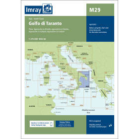
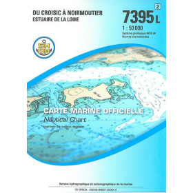
We endeavour to sell only the latest versions of nautical charts that include the most recent updates.
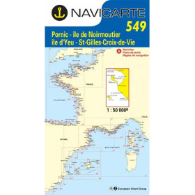
Navicarte nautical charts use the meter as reference unit.
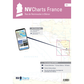
The range of Navicarte nautical charts covers the coasts of France and Spain.
Under an agreement with SHOM (N°142/2011), Navicarte produces compliant nautical charts for navigation.
The Mininav format: A3 laminated marine chart specially designed for: - light sailing (dinghy, sport catamaran, canoe & sea kayak) - cabotage (day-boat) - regatta
They can also serve as a set of table.
The paper: Laminated marine chart.
The paper: Navicarte has adopted a support whose main characteristic is resistance to use in a humid environment (rain, spray), while preserving the ease of writing and erasing personal navigation information (point reporting, route routing, etc.).
This support is a paper loaded with latex, which gives it good resistance to folding, even wet. This resistance to water is not unlimited but allows to obtain a chart having a correct life.
The other features:
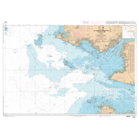
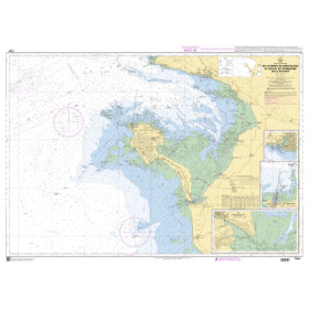
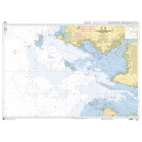
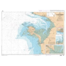
Inset: According to the navigation zone, several insets - mainly harbours - can be found.
Back: Depending on the charts they are in single-sided printing or double-sided printing.
Reprint and update: To make it easier to update, Navicarte charts are reprinted regularly, taking into account corrections published by notice. The year of the drawing of the chart is worn on it.